Saturday, March 7, 2026 Hike Announcement

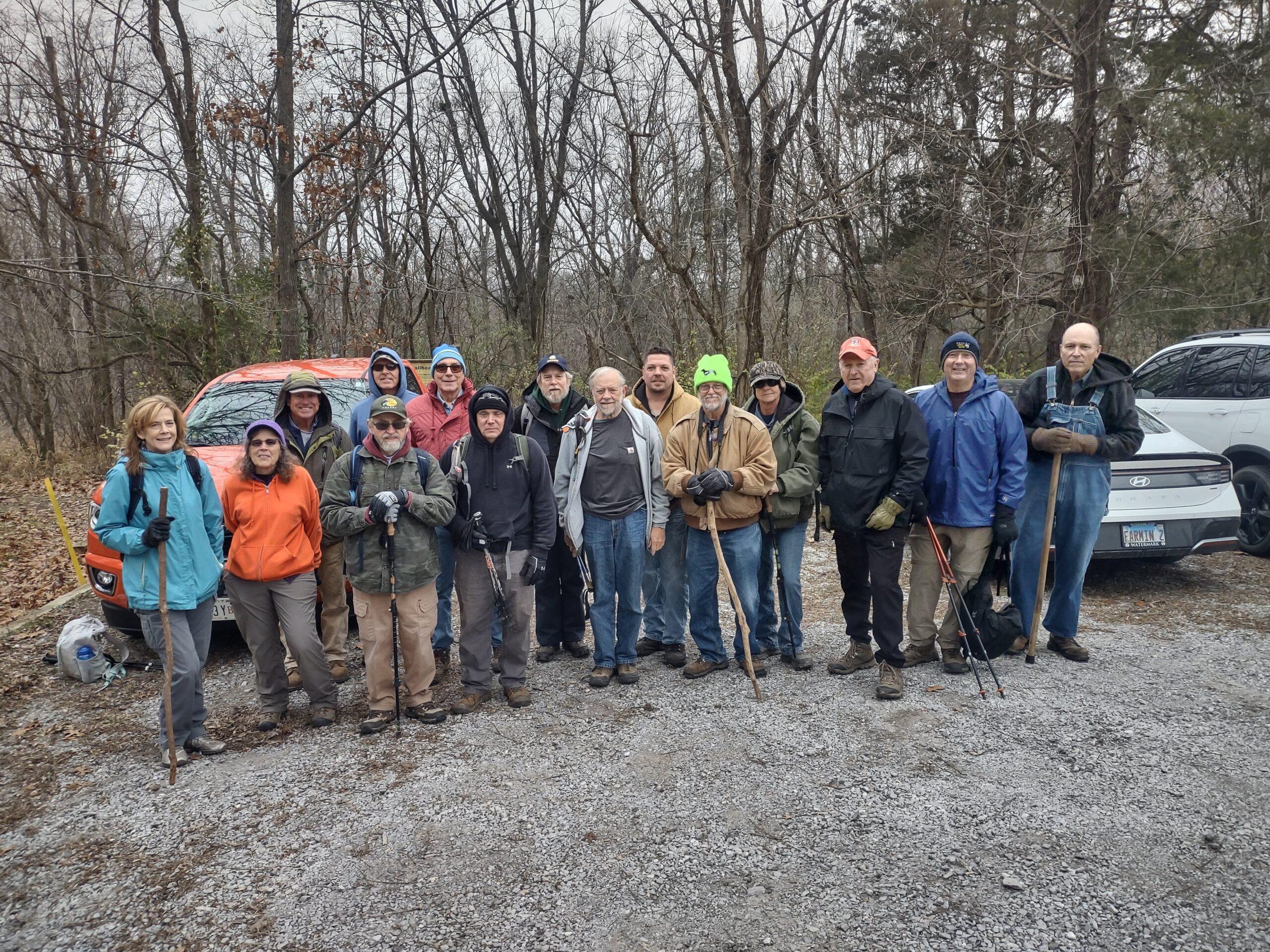
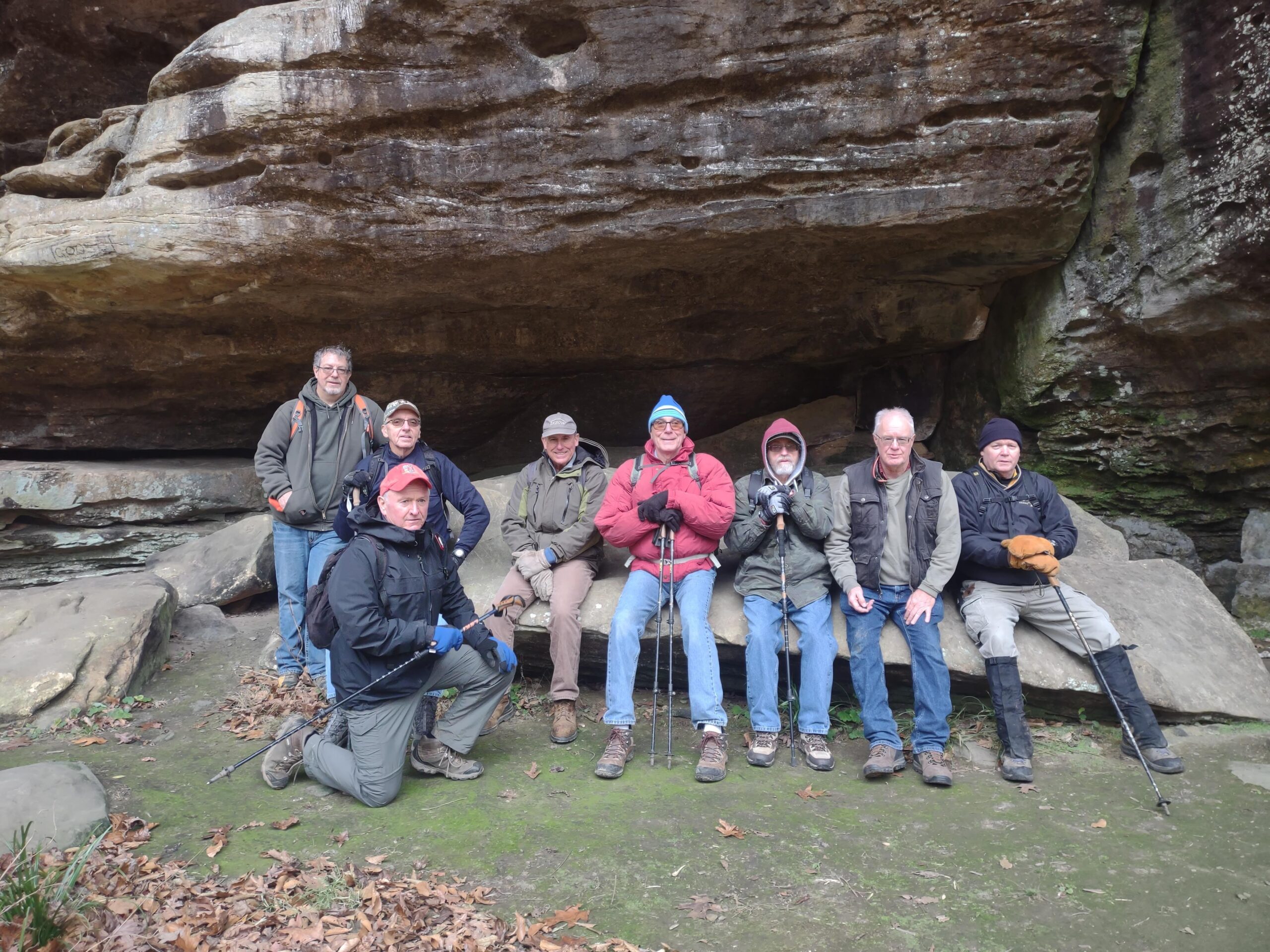
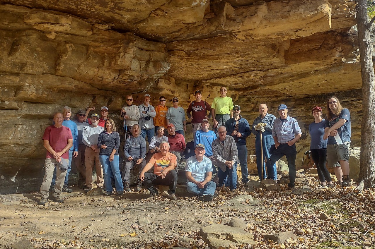
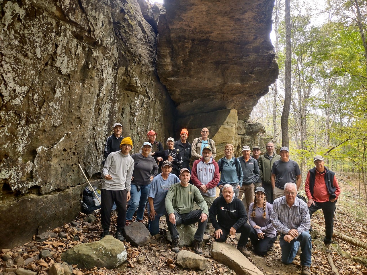
The River to River Trail Society announces its 1st public hike of the 2026 Spring hiking season on March 7th.  Hiking: Lusk Creek Indian Kitchen Wilderness (Pope County). This hike is free and open to the public. This will be a moderately difficult hike approximately 5 miles in length, 3-4 hours hiking time. The leader of this hike can be reached at 618-401-2699 for more information. Hikers should meet at 10:00 am at the Indian Kitchen Trailhead. This hike is intended for people in very good health who have done some hiking. Hiking sticks and boots or sturdy shoes are recommended. Hikers should bring their own water and snacks. No dogs, please. Check the post on the River to River Trail Society website  www.rivertorivertrail.net for this current week’s hike information including driving directions to the meeting area for this week’s hike. For a map to the meeting location Indian Kitchen Trailhead click this blue link  Indian Kitchen Trailhead, a map will open up. Click the Directions button and a driving map will be created which will allow you to plan your driving directions to the meeting area. Prior to participating in any hikes, the River to River Trail Society requests that all hikers read the 2023 Trail Society Waiver which can be found on the River to River website at the following link  https://rivertorivertrail.net/ under the Society Information tab. The waiver will be at the Indian Kitchen Trailhead for your signature.

Saturday December 13, 2025 Hike Summary

On a cloudy Saturday, December 13th, 16 hikers gathered at the Lirley Trailhead. We took the picture at the Lirley Trailhead in case we had to disperse early from the hike. One hiker was late arriving and was not included in the picture. We had one new hiker attending this hike. We then did a 25 minute shuttle to Landreth Road and parked at the Landreth School parking area. Bob Mulcahy led the hike and we started hiking along Trail 348B which tied into the R2R Trail 001. Two of the hikers decided to head back to the Landreth School parking area after about 2 miles into the hike. The remaining hikers continued on the R2R Trail 001 all the way back to the Lirley Trailhead. Approximately 4.5 miles of the hike was along the new rerouted R2R Trail 001. All of the trail was in pretty good shape. We came across some fallen trees across the trail and some sinkholes which are forming in the new rerouted trail. The hike was approximately 7.3 miles long and 3 hours 30 minutes hiking time.

Saturday November 29, 2025 Hike Summary

8 people began the 4.25 mile hike from Rim Rock to Thacker Hollow. 2 left at bottom of Rim Rock, despite all week there being a forecast of snow, rain and freezing rain, zero perspiration fell during the hike. We saw miles of bluffs, a cave, Thacker hollow arch and 3 equestrians. We picked up approximately 2 dozen beer cans along the hike (all in Thacker Hollow). The hike took approximately 2.5 hours.

Saturday, November 29, 2025 Hike Announcement

The River-to-River Trail Society announces its 7th public hike of the 2023 Fall hiking season on Nov. 29th. Hiking: Thacker Hollow/Initial Tree (Hardin County/Gallatin County). This hike is free and open to the public. This will be a hike of moderate difficulty, 5 miles in length, 4 hours hiking time. This will be a thru-hike. The leader of this hike can be reached at 314-223-3061 for more information. Hikers should meet at 10:00 am at the Rim Rock parking area. This hike is intended for people in very good health who have done some hiking. Hiking sticks and boots or sturdy shoes are recommended. Hikers should bring their own water and snacks. No dogs please. Hikers will need to shuttle for this hike. There are 3 streams to be crossed and hikers may need to walk rocks when crossing streams. Hikers’ shoes and or boots may become wet when crossing streams if it has rained. One-half of a mile of this hike is off trail. Some sloped areas. This hike may be tracked using the Avenza App. maps to use River to River Bundle map 03 & SNF Multi Day Hike High Knob – Pounds Hollow Loop or SNF Karbers Ridge Quad map. For a map to the meeting location at the Rim Rock parking area click on this blue link Rim Rock Parking Area and a map will open up, and then click the Directions button and a driving map will be created which will allow you to plan your driving directions to the meeting area. Prior to participating in any hikes, the River-to-River Trail Society requests that all hikers read the 2023 Trail Society Waiver which can be found on the River-to-River website at the following link https://rivertorivertrail.net/ and then sign off on this waiver prior to the beginning of the hike. A copy of the waiver will be at the Rim Rock meeting area for your signature.

Saturday November 8, 2025 Hike Summary

What a day for a hike it was!!  On Saturday November 8th, was clear & sunny. We gathered at the parking lot of the visitors center of Giant City State park, with a crowd of 23 hikers, including 4 new hikers, to be led by Fred Scott. We headed Southwest ( I think) out of the parking lot and down the trails. For the first half of the hike, we saw Dozens of other hikers, families, small groups, even rapellers out enjoying the day. We crossed a few streams with a bit of water, but, still, due to the fall dryness, no water flows at all. But, fall tree colors were finally showing, It was a Beautiful day to be out recreating. We ate lunch and took the group picture at a shelter bluff area, then moved on to where Fred and 3 other gents had spotted vehicles to bring us all back to the parking lot. We hiked about 4.5 miles today. 

Next weeks’ hike, will be meeting at 10am, at  Camp Cadiz in Hardin county, to be led by Sam Morales. 

Until then, “See ya’ll On the Trail”, 

Saturday, November 15, 2025 Hike Announcement

The River to River Trail Society announces its 6th public hike of the 2025 Fall hiking season on Nov. 15th.  Hiking: Pot Belly Arch (Hardin County). This hike is free and open to the public. This will be a very difficult in and out hike approximately 4.5 miles (bush whacking, 4 miles of this hike has no trails to follow) in length approximately 4 hours hiking time. The leader of this hike can be reached at 618-384-1321 for more information. Hikers should meet at 10:00 am at the Camp Cadiz camping area. This hike is intended for people in very good health who have done some hiking. Hiking sticks and boots or sturdy shoes are recommended. Hikers should bring their own water and snacks. No dogs please. Hikers will be required to cross 6 streams, of which 2 are very wide. If it has rained, hiker’s boots and or shoes may become wet when crossing the streams. Hikers will also be required to walk rocks when crossing the streams. Some steep slopes on this hike. This hike may be tracked using the Avenza App. map R2R-03A or SNF Saline Mines & Karbers Ridge maps. For a map to the meeting location at Camp Cadiz camping area click this blue link Camp Cadiz and a map will open up, and then click the Directions button and a driving map will be created which will allow you to plan your driving directions to the meeting area. Prior to participating in any hikes, the River to River Trail Society requests that all hikers read the 2023 Trail Society Waiver which can be found on the River to River website at the following link  https://rivertorivertrail.net/ and then sign off on this waiver prior to the beginning of the hike. A copy of the waiver will be at the Camp Cadiz meeting area for your signature.

Saturday November 1, 2025 Hike Summary

On a cloudy but warm Saturday morning, 20 hikers gathered at the boat launch area at Duchman lake. Megan Henderson was our leader for the day. I think we had 1-2 new hikers with us. We proceeded back up the lane, and into the woods, following a new trail that is a re-route. We covered about 4 miles, and did see a few drops of water dribbling at a water fall. We ate lunch at the big shelter bluff/cave, where we also took the group picture. We headed back..’up top” of some of the areas we had been during the morning. Megan decided to get out to the road, and walk back in, to avoid any chances of us getting wet. We did pick up trash along the roadway, coming back to the vehicles. 

Saturday, November 8, 2025 Hike Announcement

The River to River Trail Society announces its 5th public hike of the 2025 Fall hiking season on Nov. 8th.  Hiking: Giant City State Park (Jackson County). This hike is free and open to the public. This will be a moderate thru hike approximately 6 miles in length approximately 4 hours hiking time. The leader of this hike can be reached at 618-841-4838 for more information. Hikers should meet at 10:00 am at the Giant City Visitor Center. This hike is intended for people in very good health who have done some hiking. Hiking sticks and boots or sturdy shoes are recommended. Hikers should bring their own water and snacks. No dogs please. This hike will require shuttling back to the visitor’s center. This hike may be tracked using the Avenza App. map R2R-21 or SNF Makanda map. For a map to the meeting location Giant City Visitors Center click this blue link Giant City Visitors Center and a map will open up, and then click the Directions button and a driving map will be created which will allow you to plan your driving directions to the meeting area. Prior to participating in any hikes, the River to River Trail Society requests that all hikers read the 2023 Trail Society Waiver which can be found on the River to River website at the following link https://rivertorivertrail.net/ and then sign off on this waiver prior to the beginning of the hike. A copy of the waiver will be at the Giant City Visitors Center meeting area for your signature.

Saturday October 25, 2025 Hike Summary

On a cloudy, overcast sky Saturday morning, 17 hikers gathered at the end of Rebman lane, to be led by Melanie Kasson on a hike involving several trails, including parts of the River to River trail, in the South part of Ferne Clyffe State park. We had  2 new hikers, 1 from Vienna, IL and 1 from Nashville TN. All the rest were returning hikers. Remembering that “what goes down, must come back up” we headed NE, down a wide trail. We crossed several “dry” streams today, since, again & still the area has had little rainfall. Trees are turning colors, but, the colors are quite muted. Lots of leaves have already fallen on trails. We wound around and found the Natural bridge/arch, and ate lunch under it. While we were there, one thru-hiker from Aurora came walking up to us.  We chatted with him, asked him if we could help in any way, and he said he needed bandages(probably for blisters). Several hikers found bandages in their backpacks and gave them to him. We included him, Lucas, on the left side in our group picture. Rain sprinkles threatened right at the start of the hike, but nothing materialized at all during or after the hike. We ended up covering 6.5 miles on todays’ hike. 

Next weeks’ hike will be in the Dutchman lake area. Park down by the boat launch. Megan H. will be our hike leader. Until then, “See ya’ll On the Trail. 

Saturday, November 1, 2025 Hike Announcement

The River to River Trail Society announces its 4th public hike of the 2025 Fall hiking season on Nov. 1st.  Hiking: Dutchman Lake (Johnson County). This hike is free and open to the public. This will be a moderately difficult loop hike approximately 5 miles in length approximately 4 hours hiking time. The leader of this hike can be reached at 618-967-0019 for more information. Hikers should meet at 10:00 am at Dutchman Lake. This hike is intended for people in very good health who have done some hiking. Hiking sticks and boots or sturdy shoes are recommended. Hikers should bring their own water and snacks. No dogs please. There are stream crossings which will require hikers to walk rocks in order to cross streams and the rocks may be slippery if the rocks are wet. Some steep grades are on this hike. Some slick rock on this hike which may be slippery if it has rained. This hike may be tracked using the Avenza App. map R2R 16 or SNF Vienna Quad. map. For a map to the meeting location at Dutchman Lake click this blue link Dutchman Lake and a map will open up, and then click the Directions button and a driving map will be created which will allow you to plan your driving directions to the meeting area. Prior to participating in any hikes, the River to River Trail Society requests that all hikers read the 2023 Trail Society Waiver which can be found on the River to River website at the following link River to River Trail Society Information and then sign off on this waiver prior to the beginning of the hike. A copy of the waiver will be at the Dutchman Lake meeting area for your signature.