Saturday October 24, 2026 Hike Summary
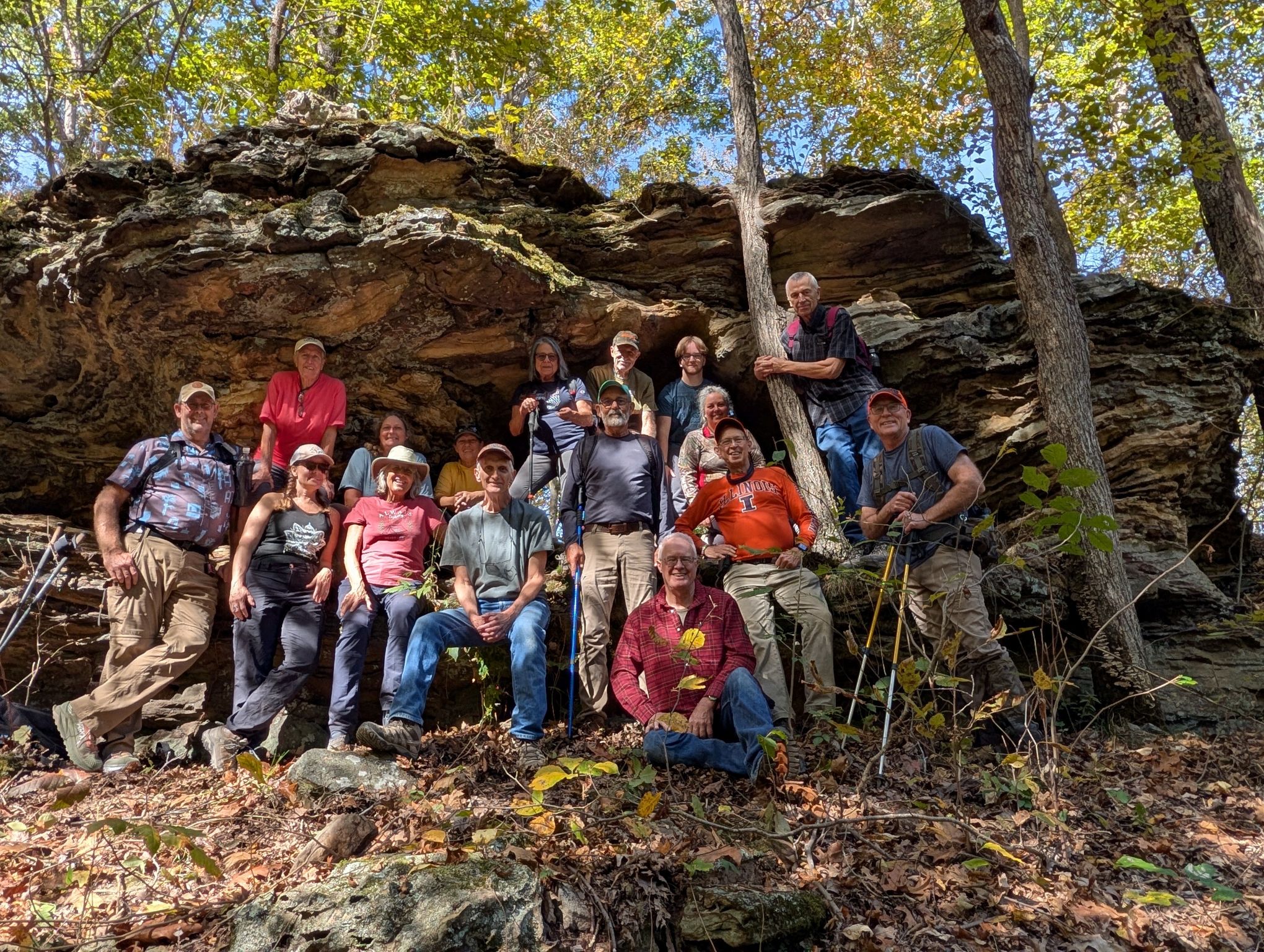
What a Grrreat day for a hike. Carl Brennan led 15 other hikers on a Sunny Saturday morning, from our meeting spot on Trails end lane, into Thacker Hollow. We saw a nice sized equestrian group head out South on the old roadbed about 10 minutes ahead of us. We did a lot of “switch-backing” today on most of the trails. Much of the time we were under ‘tree-cover’, seeing splashes of sun. Finding a small cave early on was interesting, and the trails were extremely dusty from the lack of rain. Several times we were on trails 184 & 188, and ended up on the dam for Pounds Hollow lake, which was mowed nice and neat by Terry Wheeler of STC. We then headed up a ridge, and found the Pounds Hollow arch, where we stopped, ate lunch and took the group picture. We only met up with 1 equestrian group of 4, but, we did see other equestrians out ahead of us. We ended up hiking just a bit less than 5 miles. And, again, we had several new hikers. Glad to welcome them and invited them back to join us any time. 

Next weeks’ hike, a night hike at Max Creek, into the Vortex, on Halloween, will be led by Shawn Gossman, of Hiking with Shawn on youtube. It will meet at 630 pm. 

Until then, “See ya’ll on the Trail”. 
Saturday November 29, 2025 Hike Summary

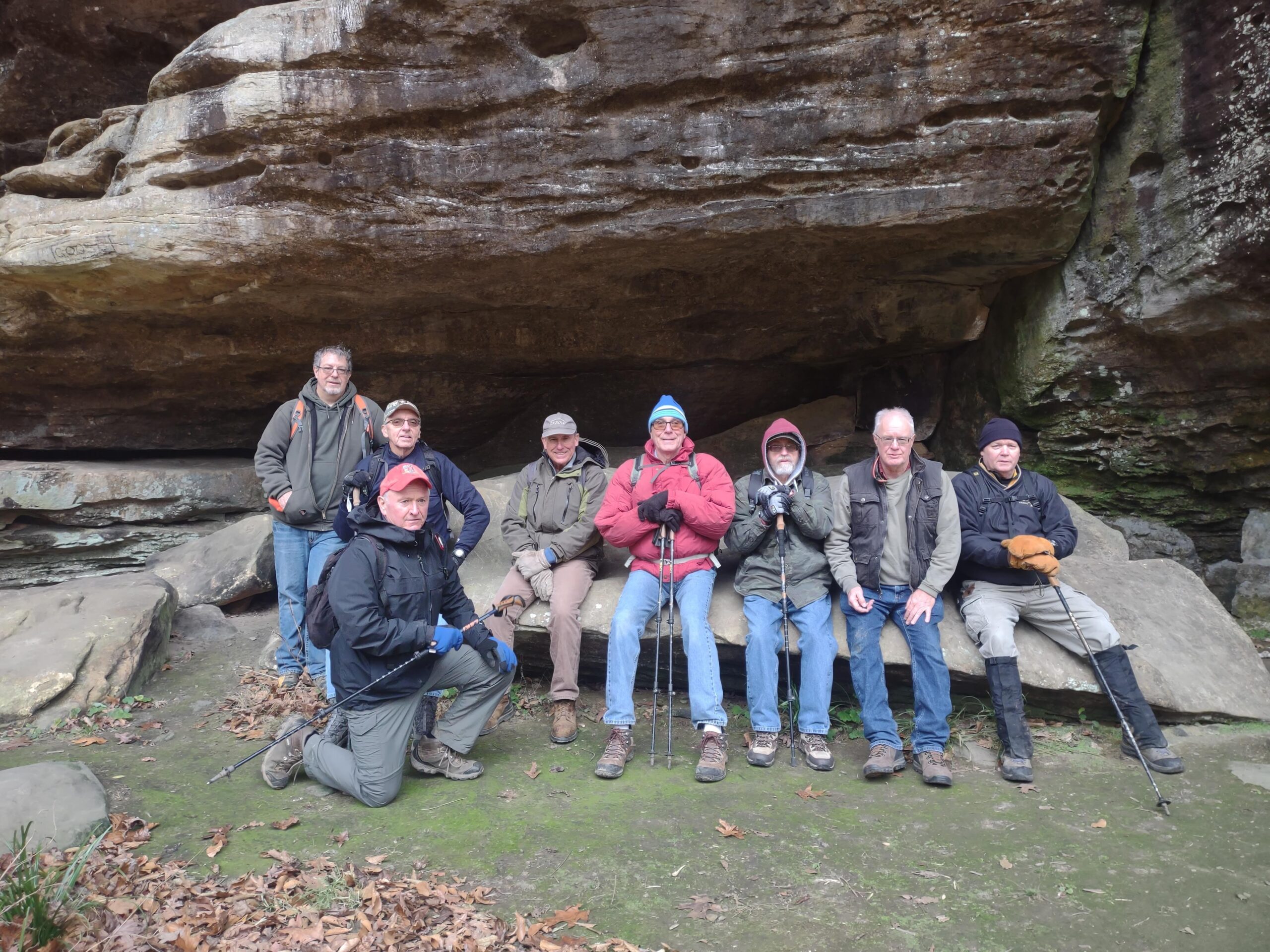
8 people began the 4.25 mile hike from Rim Rock to Thacker Hollow. 2 left at bottom of Rim Rock, despite all week there being a forecast of snow, rain and freezing rain, zero perspiration fell during the hike. We saw miles of bluffs, a cave, Thacker hollow arch and 3 equestrians. We picked up approximately 2 dozen beer cans along the hike (all in Thacker Hollow). The hike took approximately 2.5 hours.

Saturday, November 29, 2025 Hike Announcement

The River-to-River Trail Society announces its 7th public hike of the 2023 Fall hiking season on Nov. 29th. Hiking: Thacker Hollow/Initial Tree (Hardin County/Gallatin County). This hike is free and open to the public. This will be a hike of moderate difficulty, 5 miles in length, 4 hours hiking time. This will be a thru-hike. The leader of this hike can be reached at 314-223-3061 for more information. Hikers should meet at 10:00 am at the Rim Rock parking area. This hike is intended for people in very good health who have done some hiking. Hiking sticks and boots or sturdy shoes are recommended. Hikers should bring their own water and snacks. No dogs please. Hikers will need to shuttle for this hike. There are 3 streams to be crossed and hikers may need to walk rocks when crossing streams. Hikers’ shoes and or boots may become wet when crossing streams if it has rained. One-half of a mile of this hike is off trail. Some sloped areas. This hike may be tracked using the Avenza App. maps to use River to River Bundle map 03 & SNF Multi Day Hike High Knob – Pounds Hollow Loop or SNF Karbers Ridge Quad map. For a map to the meeting location at the Rim Rock parking area click on this blue link Rim Rock Parking Area and a map will open up, and then click the Directions button and a driving map will be created which will allow you to plan your driving directions to the meeting area. Prior to participating in any hikes, the River-to-River Trail Society requests that all hikers read the 2023 Trail Society Waiver which can be found on the River-to-River website at the following link https://rivertorivertrail.net/ and then sign off on this waiver prior to the beginning of the hike. A copy of the waiver will be at the Rim Rock meeting area for your signature.