Saturday April 20, 2024 Hike Summary

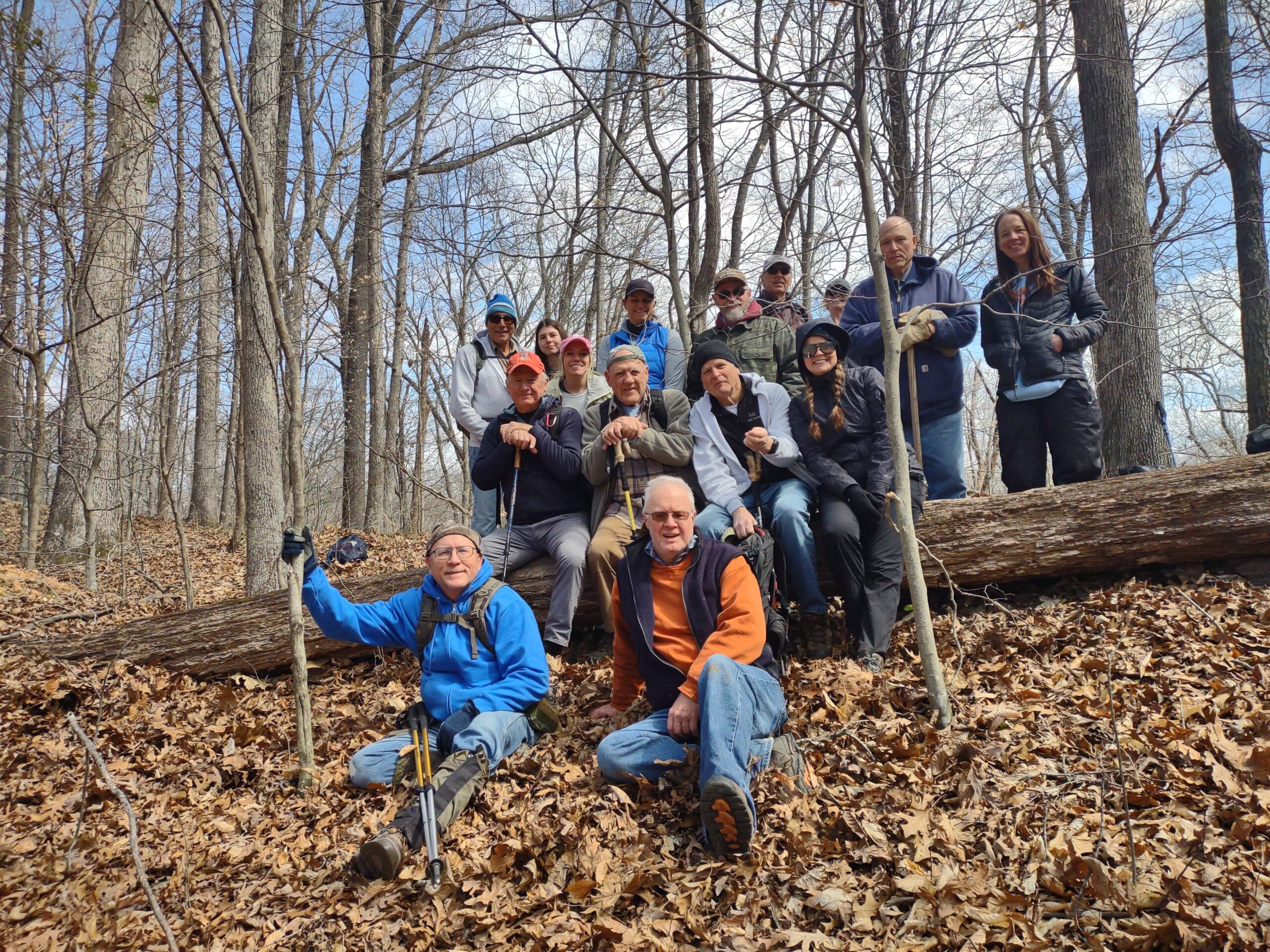
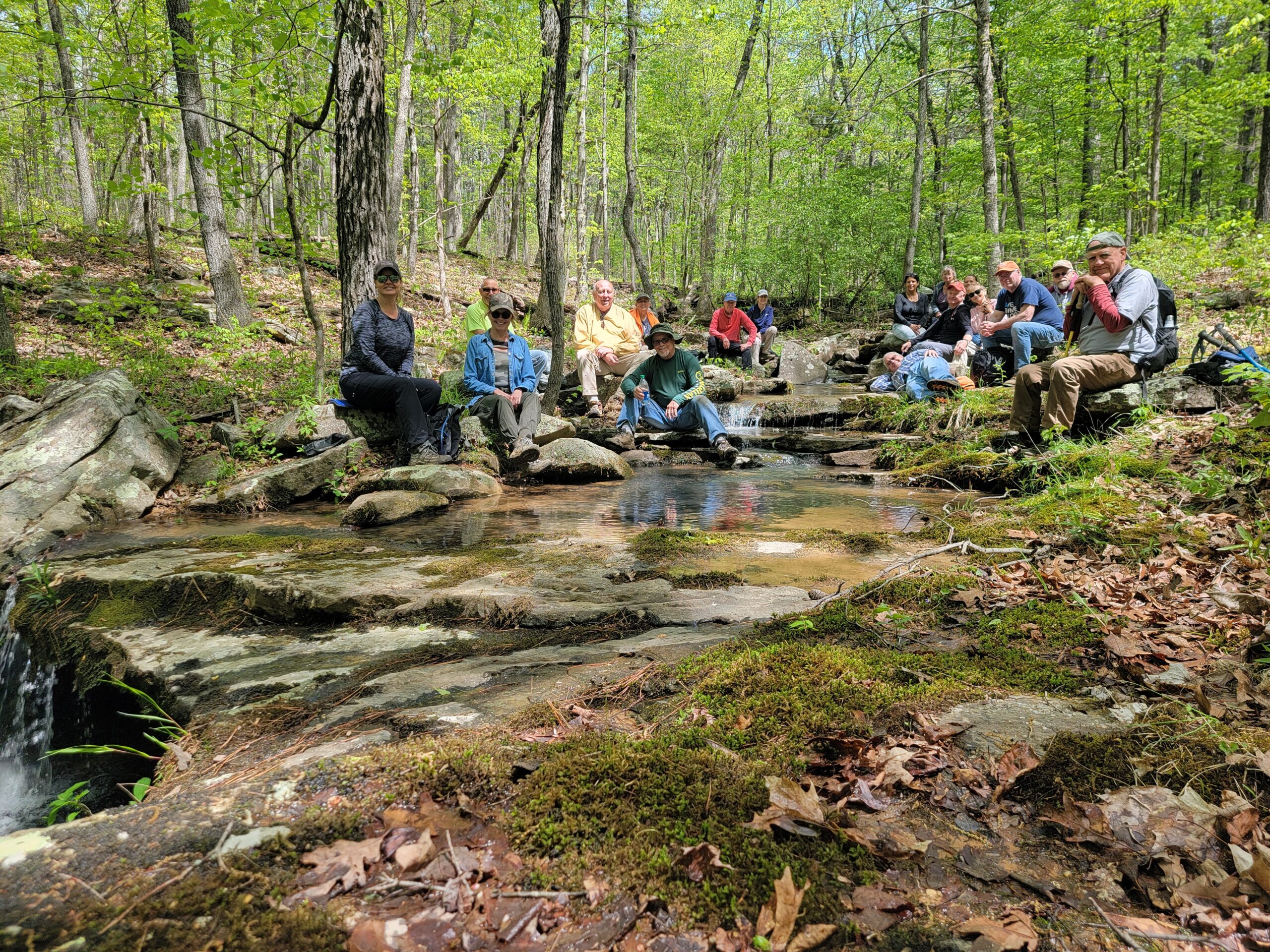
16 Hikers met leader Bil Gilmour at the east end of Illinois Rt. 147. It was sunny and a bit windy. We then vehicle-pooled North on Cedar Grove church rd, a few miles and turned West on a lane into the forest We had 3 new hikers, 1 from West Frankfort and a mother-daughter pair from the Cobden-Makanda area. There were lots of people using the area today…plenty of equestrians, and then the River to River Relay race was also today. Much of our hike was on Trail 032, but, the last mile or so was on the River to River Trail. We ate lunch, and took the group picture at a nice little water fall…no name for it…that had a small amount of flow to it today. It had about a 10-12 ft. drop into a nice pool.  No one chose to go swimming though. It was another Great day to be hiking. A couple of gents even did some “trail marker maintenance ” by using their big Sharpie pens to re-mark some Trail 032 signs that were fading out. Next weeks’ hike will be led by Fred Scott at Bell Smith Springs. We will meet in the main parking area. 

Until then, “See ya’ll On the Trail”. 

Saturday, April 20, 2024 Hike Announcement

The River to River Trail Society announces its 8th public hike of the 2024 spring hiking season on Apr. 20th. Hiking: Trail 32 (Johnson County). This hike is free and open to the public. This will be a hike, 6 miles in length, 4 hours hiking time. The leader of this hike can be reached at 270-331-1553 for more information. Hikers should meet at 10:00 am at the intersection of Hwy 147 and Cedar Grove Road. This hike is intended for people in good health who have done some hiking. Hiking sticks and boots or sturdy shoes are recommended. Hikers should bring their own water and snacks. No dogs please. There will be some small stream crossings. If it rains prior to this hike, hiker’s boots/shoes may become wet when crossing the streams. Hikers will also need to shuttle for this hike. For a map to the meeting location at the intersection of Hwy 147 and Cedar Grove Road click this blue link Intersection of Hwy 147 & Cedar Grove Road and a map will open up, and then click the Directions button and a driving map will be created which will allow you to plan your driving directions to the meeting area. Prior to participating in any hikes, the River to River Trail Society requests that all hikers read the 2023 Trail Society Waiver which can be found on the River to River website at the following link River to River Trail Society Information and then sign off on this waiver prior to the beginning of the hike. A copy of the waiver will be at the intersection of Hwy 147 and Cedar Grove Road meeting area for your signature.

Saturday March 23, 2024 Hike Summary

On a windy, somewhat cool Saturday morning, Bob Mulcahy got started early.  He, Debbie Townsend, and Sam Morales met at the West end of the Godwin trail to park 2 vehicles to bring hikers back to the start of the hike…the East end of the Godwin trail, which is a few miles West of Alto Pass, Illinois. (Did you follow all that, hehe??). Bob led 14 other hikers on a 7 mile trek. It was a blustery day, but, as usual, once we got started moving, and into the trees, we warmed up and the wind was much less noticeable. We had 2 New hikers from the Carlyle area. We kept a pretty good pace. The trail was easy to see and a lot of it, but not all, was on a ridge. We did descend a few times into creek areas, that had some water, but nothing that impeded easy crossings. The creek beds are of different substances in this area, still sedimentary rocks, but of much finer material than sandstones that are found in the middle and eastern parts of Southern Illinois. We did meet up, in the afternoon, with 4 young gents from the Bloomington area of Illinois, doing the exact opposite hike we were doing They had parked vehicles at the East end, and started from the West end. The hike was 7 miles. The ride back to the starting point…was 12 miles. 1 group did go on out to Inspiration point to take in that view.. 

Next weeks’ hike is “out of state” at Mantle Rock in Kentucky, part of the Trail of Tears. For the meeting point, and directions, be sure to consult the post sent out Saturday March 23 from the website. Cathy Jennings will be our leader.  Mantle rock is The Largest Natural Arch East of the Mississippi river. And, just a few hundred feet from the parking area, is a neat, sandstone glade waterfall..if there has been enough rain.  Come along and join the fun. 

Until then, “See ya’ll On the Trail”
Saturday, March 23, 2024 Hike Announcement

The River to River Trail Society announces its 4th public hike of the 2024 spring hiking season on Mar. 23rd. Hiking: Godwin Trail (Union County). The Godwin Trail is a long wooded segment of the R2R trail and would be a good chance to add this segment to your list of completed hikes. This hike is free and open to the public. This will be a hike of extreme difficulty, 7 miles in length, 4 hours hiking time. This will be a thru hike. The leader of this hike can be reached at 708-471-7500 for more information. Hikers should meet at 10:00 am at Godwin Trailhead East. This hike is intended for people in good health who have done some hiking. Hiking sticks and boots or sturdy shoes are recommended. Hikers should bring their own water and snacks. No dogs please. Hikers will need to shuttle back to Godwin Trailhead East once this hike is completed. Some vehicles will need to be shuttled to Godwin Trailhead West. There is one wide stream to be crossed. Hikers may need to walk rocks while crossing the stream if it has rained. Hiker’s shoes/boots may become wet when crossing this stream. For a map to the meeting location of Godwin Trailhead East click this blue link Godwin Trailhead East and a map will open up, and then click the Directions button and a driving map will be created which will allow you to plan your driving directions to the meeting area. Prior to participating in any hikes, the River to River Trail Society requests that all hikers read the 2023 Trail Society Waiver which can be found on the River to River website at the following link River to River Trail Society Information and then sign off on this waiver prior to the beginning of the hike. A copy of the waiver will be at the Godwin Trailhead East meeting area for your signature.

R2R Trail Detour has been Lifted

We have just been notified by the Shawnee National Forest Service that the timber harvest between Bassett Road and Cadiz Road has been completed 100%. As a result, the Forest Service has removed the requirement to detour along Bassett and Karbers Ridge Roads as shown on the map below.

As a result of this news, the Trail Society has updated the Avenza Map 3 and the River to River Trail Bundle to reflect the original route. We recommend you check for updates in the Avenza App. We have not been able to verify the condition of the trail in the work zone so we would appreciate any feedback from those planning to use it in the near future.

Saturday October 28, 2023 Hike Summary

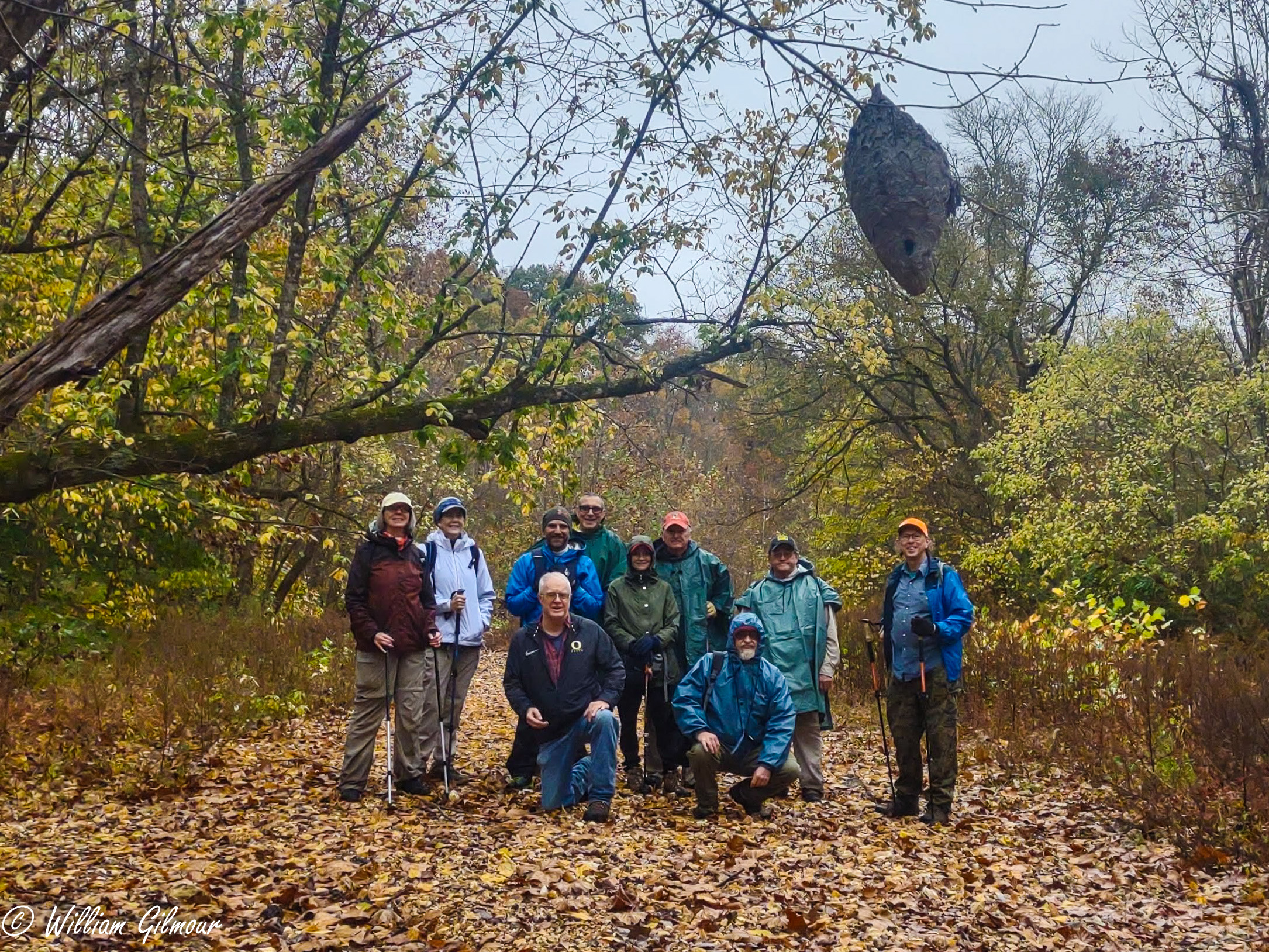
On Saturday, October 28th, we gathered at the Godwin East Trailhead. Bob & Sam had already spotted vehicles at the West end. 9 hikers gathered and Bob promptly got us started at 10:01 am. We were all keeping an eye and ear out for the possibilities of changing, inclement weather. There were 2 new hikers, 1 from Columbia, IL, and 1 from Rock Island, IL. 1 hiker almost did not come with us, as he had not brought anything to wear in case of rain. A fellow hiker was glad to help with an extra poncho found in his backpack.  We started out with and kept a brisk pace. There was quite a bit of color to be seen, which would have been nicer with sunshine, but, it was still good. Our 1st thing we found was a big, huge clay well casing, that was several feet wide, but, the well was filled in with debris, so no water to be found. All creeks had no running water, just pockets, which are probably wildlife watering spots during a dry period such as we are experiencing. When we got to Hutchins creek, we took the group picture, including the hornet/wasp nest that Bob and Sam had found earlier in the week. With the cooler temperatures, we did not observe any activity. Once past there, it was a slow, steady upward climb. We took a few minutes for lunch and of course Bobs’ delicious muffins….mmmmm, soo good. (I should have taken a picture). We got to the trucks in about 3 hrs. and 17 minutes after we left the original trailhead.  My tracker showed over 7.5 miles. We then went to Inspiration Point.  I had never been there. We all went out to the Point, several climbed the rock, and all exited safely. There were a few other people there. We took our time getting out to the point and back, adding about another half mile to the days’ hiking. 

Next weeks’ hike will be at Kinkaid Lake. It will be about 75 miles for those coming from the east side. For more information, call 618-791-3086. 

Saturday, October 28, 2023 Hike Announcement

The River-to-River Trail Society announces its 5th public hike of the 2023 fall hiking season on Oct. 28th. Hiking: Godwin Trail (Union County). The Godwin Trail is a segment of the R2R trail. This hike is free and open to the public. This will be a hike of extreme difficulty, 7 miles in length, 4 hours hiking time. This will be a through hike. The leader of this hike can be reached at 708-471-7500 for more information. Hikers should meet at 10:00 am at Godwin Trailhead East. This hike is intended for people in good health who have done some hiking. Hiking sticks and boots or sturdy shoes are recommended. Hikers should bring their own water and snacks. No dogs please. Hikers will need to shuttle back to Godwin Trailhead East once this hike is completed. Some vehicles will need to be shuttled to Godwin Trailhead West. There is one wide stream to be crossed. Hikers may need to walk rocks while crossing the stream if it has rained. Hiker’s shoes/boots may become wet when crossing this stream. There are some steep grades on this hike. For a map to the meeting location of Godwin Trailhead East click this blue link Godwin Trailhead East and a map will open up, and then click the Directions button and a driving map will be created which will allow you to plan your driving directions to the meeting area. Prior to participating in any hikes, the River-to-River Trail Society requests that all hikers read the 2023 Trail Society Waiver which can be found on the River-to-River website at the following link River-to-River Trail Society Information and then sign off on this waiver prior to the beginning of the hike. A copy of the waiver will be at the Godwin Trailhead East meeting area for your signature.

Saturday October 7, 2023 Hike Summary

On Sat. October 10th, 11 hikers met at the intersection of IL. Rt 145 & IL. Rt. 147. Bill Gilmour was our leader. We consolidated vehicles and went North on Cedar Grove Rd, then turned west on Naylor lane. We found a small spot and parked our trucks. One of our hikers was a U.S. Forest service person, Kyle, who was carrying a chain saw to be used on several downed trees. 

During our hike, at times, we were on the River to River Trail, and, on Trail 032. We were in the area of Ruby Falls,  and saw several small groups of equestrians out enjoying the day. 

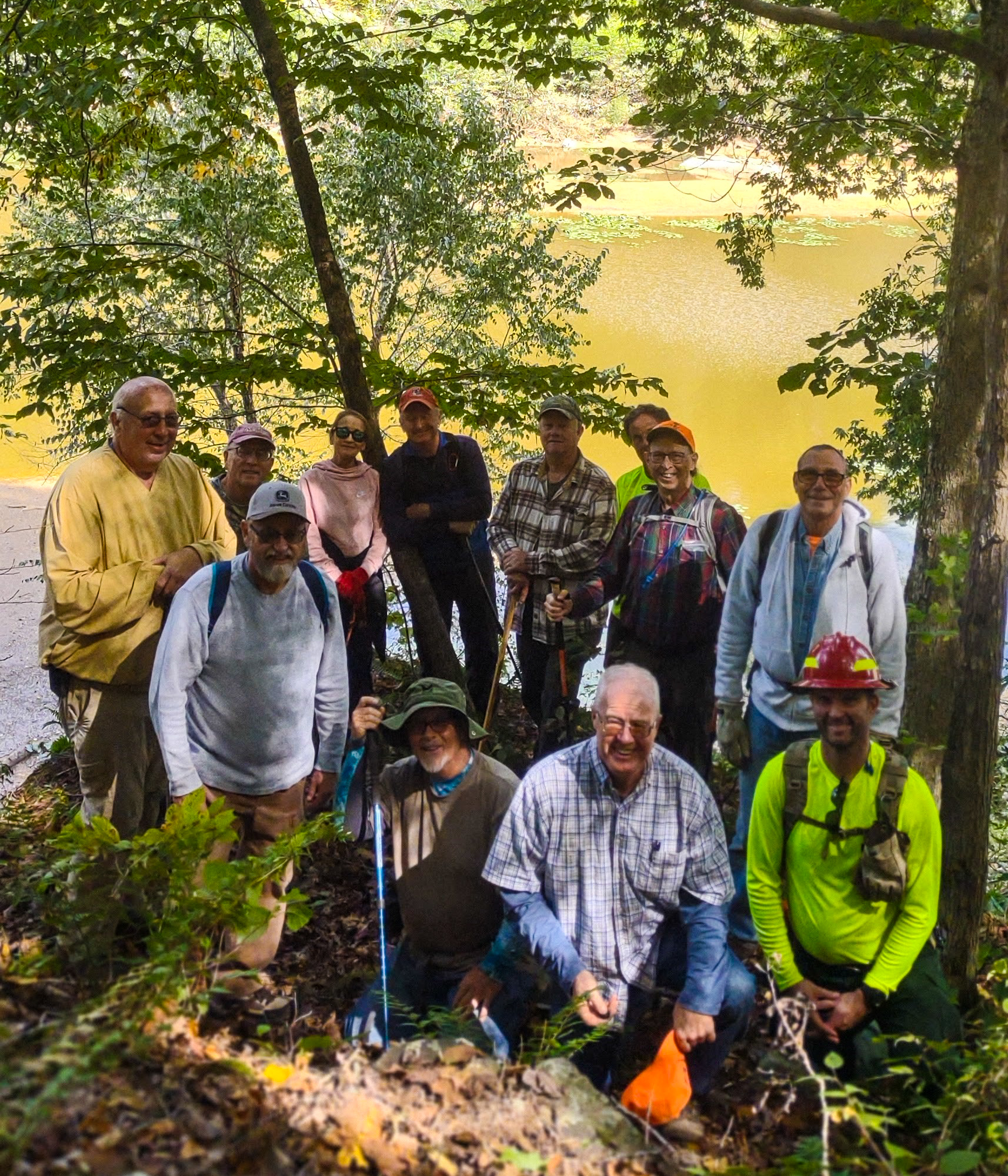
We were on the top side of a bluff, then took a break at a large open, camping area. We then started working our way back being able to view a part of Millstone lake, which was very low, due to the lack of rainfall. We took the group picture on a small rock exposure, with the lake in the background. . 

The hike for Sat. October 14th, will be led by Chris Drone, meeting at 10 am.  Until then, “See ya’ll on the trail”. 

Three Picnic Tables Installed Along R2R Trail

Trail 170 Overlook Table

Thanks to the generous donations the Society has received from many different River to River Trail Through hikers, the Society has elected to improve the trail by putting those funds back into the trail. As a result, the Society elected to tackle a project of purchasing and installing picnic tables at the more popular and heavily used camp sites along the trail. The project started back on September 16, 2023 when Society members Bill Gilmour, Chris Drone and Sam Morales met in Marion, IL at Menards and purchased materials for the first six tables and delivered them to the farm of David Hilliard. The four then spent the afternoon assembling the first two tables.

The Society has partnered up with the Back Country Horseman of Illinois (BCH) specifically to help us get the tables in some of the remote campsites along the trail. On September 29, 2023 three of the Society members above were joined by Cricket Simons of the BCH when we installed the second table at Rocky Top in the One Horse Gap section of the trail and then assembled four more tables. That brings the total number of tables assembled to six with at least three more to go.

On October 4, 2023, the third table was installed along the R2R trail in the One Horse Gap section near the point where the trail crosses Hart Creek. The tables installed to date are:

Location NameDate InstalledGPS Coordinates
The Trail 170 Overlook TableSeptember 22, 2023N37.54733° W88.44585°
Rocky Top TableSeptember 29, 2023N37.52558° W88.45367°
Hart Creek TableOctober 4, 2023N37.56163° W88.45306°

The next three tables will be installed in the next couple of months and the current planned locations include the camping spot near Cedar Lake Spillway, Petty Coat Junction, Max Creek Vortex and Cedar Creek Wonders. Other future locations are still being planned.

Sam Morales and David Hilliard assembling a Picnic Table
The Trail 170 Overlook Picnic Table
Sam Morales testing out the Hart Creek Picnic Table
Bill Gilmour and Cricket Simons Testing the Rocky Top Table

Saturday, October 7, 2023 Hike Announcement

The River-to-River Trail Society announces its 2nd public hike of the 2023 fall hiking season on Oct. 7th. Hiking: Millstone Lake Trail #32 & the R2R Trail (Johnson County). This hike is free and open to the public. This will be a hike of moderate difficulty, 5.2 miles or less in length, 4 hours hiking time. This will be a loop hike. The leader of this hike can be reached at 270-331-1553 for more information. Hikers should meet at 10:00 am at the intersection of Hwy 147 and Cedar Grove Church Road. This hike is intended for people in good health who have done some hiking. Hiking sticks and boots or sturdy shoes are recommended. Hikers should bring their own water and snacks, No dogs please. Hikers will need to Carpool to trailhead due to limited parking at the trailhead location. There are 3 streams to be crossed and hikers may need to walk rocks when crossing streams if it has rained. For a map to the meeting location of Hwy 147 and Cedar Grove Church Road click this blue link Hwy 147 & Cedar Grove Church Road and a map will open up, and then click the directions button and a driving map will be created which will allow you to plan your driving directions to the meeting area. Prior to participating in any hikes, the River-to-River Trail Society requests that all hikers read the 2023 Trail Society Waiver which can be found on the River-to-River website at the following link River-to-River Trail Society Information and then sign off on this waiver prior to the beginning of the hike. A copy of the waiver will be at the Hwy 147 & Cedar Grove Church Road meeting area for your signature.