Saturday March 23, 2024 Hike Summary

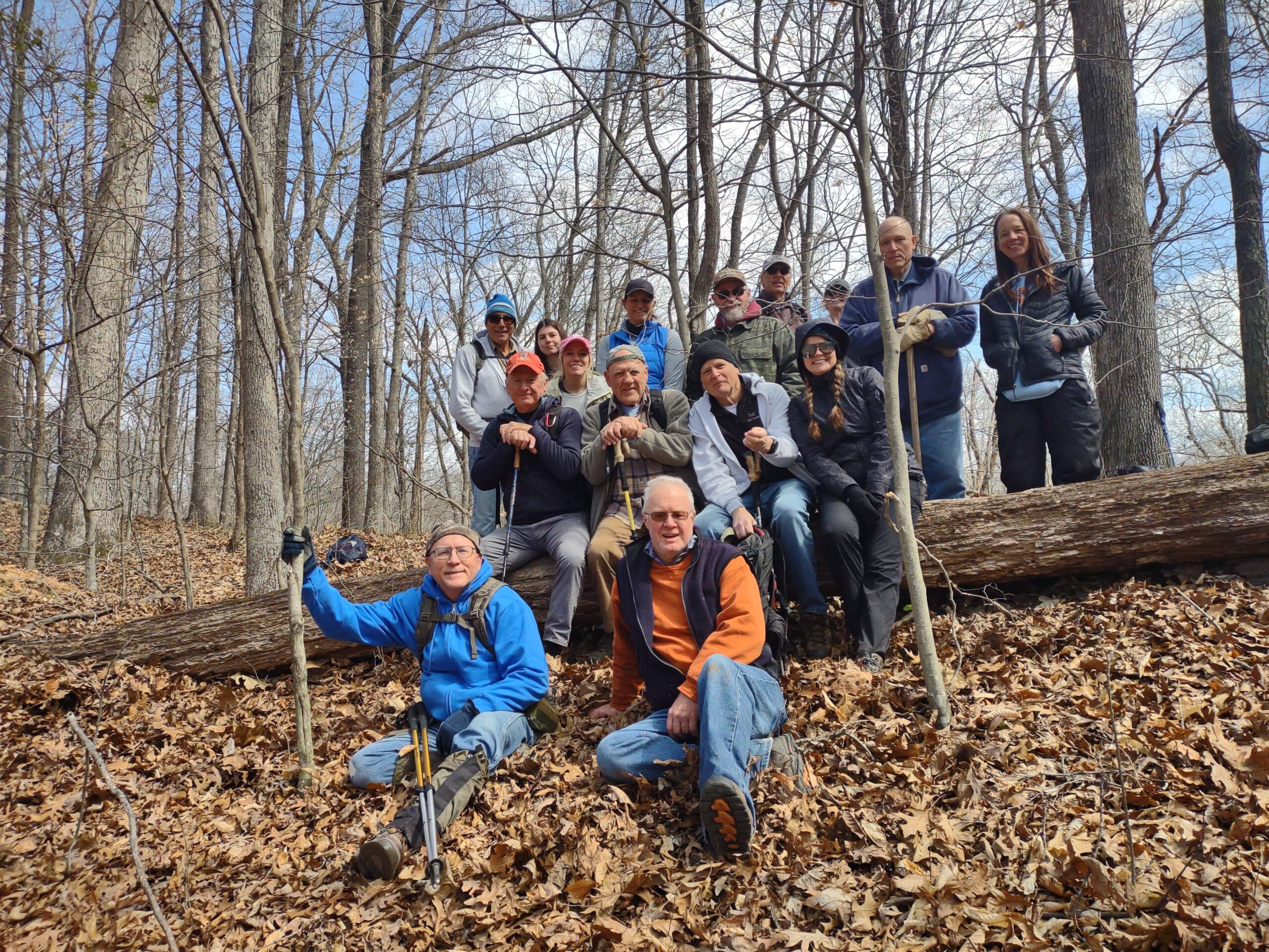
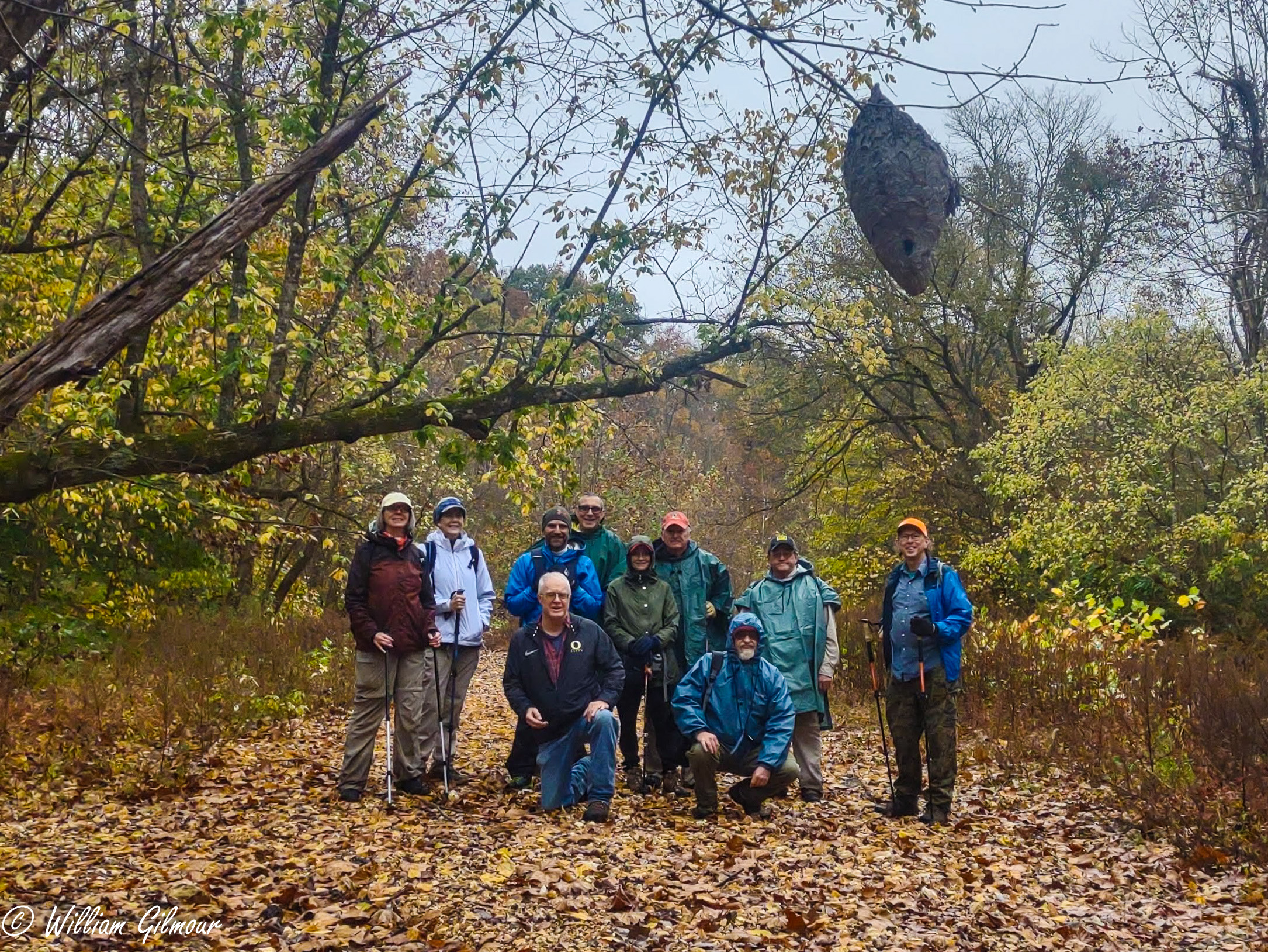
On a windy, somewhat cool Saturday morning, Bob Mulcahy got started early.  He, Debbie Townsend, and Sam Morales met at the West end of the Godwin trail to park 2 vehicles to bring hikers back to the start of the hike…the East end of the Godwin trail, which is a few miles West of Alto Pass, Illinois. (Did you follow all that, hehe??). Bob led 14 other hikers on a 7 mile trek. It was a blustery day, but, as usual, once we got started moving, and into the trees, we warmed up and the wind was much less noticeable. We had 2 New hikers from the Carlyle area. We kept a pretty good pace. The trail was easy to see and a lot of it, but not all, was on a ridge. We did descend a few times into creek areas, that had some water, but nothing that impeded easy crossings. The creek beds are of different substances in this area, still sedimentary rocks, but of much finer material than sandstones that are found in the middle and eastern parts of Southern Illinois. We did meet up, in the afternoon, with 4 young gents from the Bloomington area of Illinois, doing the exact opposite hike we were doing They had parked vehicles at the East end, and started from the West end. The hike was 7 miles. The ride back to the starting point…was 12 miles. 1 group did go on out to Inspiration point to take in that view.. 

Next weeks’ hike is “out of state” at Mantle Rock in Kentucky, part of the Trail of Tears. For the meeting point, and directions, be sure to consult the post sent out Saturday March 23 from the website. Cathy Jennings will be our leader.  Mantle rock is The Largest Natural Arch East of the Mississippi river. And, just a few hundred feet from the parking area, is a neat, sandstone glade waterfall..if there has been enough rain.  Come along and join the fun. 

Until then, “See ya’ll On the Trail”

Saturday, March 23, 2024 Hike Announcement

The River to River Trail Society announces its 4th public hike of the 2024 spring hiking season on Mar. 23rd. Hiking: Godwin Trail (Union County). The Godwin Trail is a long wooded segment of the R2R trail and would be a good chance to add this segment to your list of completed hikes. This hike is free and open to the public. This will be a hike of extreme difficulty, 7 miles in length, 4 hours hiking time. This will be a thru hike. The leader of this hike can be reached at 708-471-7500 for more information. Hikers should meet at 10:00 am at Godwin Trailhead East. This hike is intended for people in good health who have done some hiking. Hiking sticks and boots or sturdy shoes are recommended. Hikers should bring their own water and snacks. No dogs please. Hikers will need to shuttle back to Godwin Trailhead East once this hike is completed. Some vehicles will need to be shuttled to Godwin Trailhead West. There is one wide stream to be crossed. Hikers may need to walk rocks while crossing the stream if it has rained. Hiker’s shoes/boots may become wet when crossing this stream. For a map to the meeting location of Godwin Trailhead East click this blue link Godwin Trailhead East and a map will open up, and then click the Directions button and a driving map will be created which will allow you to plan your driving directions to the meeting area. Prior to participating in any hikes, the River to River Trail Society requests that all hikers read the 2023 Trail Society Waiver which can be found on the River to River website at the following link River to River Trail Society Information and then sign off on this waiver prior to the beginning of the hike. A copy of the waiver will be at the Godwin Trailhead East meeting area for your signature.

Saturday October 28, 2023 Hike Summary

On Saturday, October 28th, we gathered at the Godwin East Trailhead. Bob & Sam had already spotted vehicles at the West end. 9 hikers gathered and Bob promptly got us started at 10:01 am. We were all keeping an eye and ear out for the possibilities of changing, inclement weather. There were 2 new hikers, 1 from Columbia, IL, and 1 from Rock Island, IL. 1 hiker almost did not come with us, as he had not brought anything to wear in case of rain. A fellow hiker was glad to help with an extra poncho found in his backpack.  We started out with and kept a brisk pace. There was quite a bit of color to be seen, which would have been nicer with sunshine, but, it was still good. Our 1st thing we found was a big, huge clay well casing, that was several feet wide, but, the well was filled in with debris, so no water to be found. All creeks had no running water, just pockets, which are probably wildlife watering spots during a dry period such as we are experiencing. When we got to Hutchins creek, we took the group picture, including the hornet/wasp nest that Bob and Sam had found earlier in the week. With the cooler temperatures, we did not observe any activity. Once past there, it was a slow, steady upward climb. We took a few minutes for lunch and of course Bobs’ delicious muffins….mmmmm, soo good. (I should have taken a picture). We got to the trucks in about 3 hrs. and 17 minutes after we left the original trailhead.  My tracker showed over 7.5 miles. We then went to Inspiration Point.  I had never been there. We all went out to the Point, several climbed the rock, and all exited safely. There were a few other people there. We took our time getting out to the point and back, adding about another half mile to the days’ hiking. 

Next weeks’ hike will be at Kinkaid Lake. It will be about 75 miles for those coming from the east side. For more information, call 618-791-3086.