Saturday, April 26, 2025 Hike Announcement

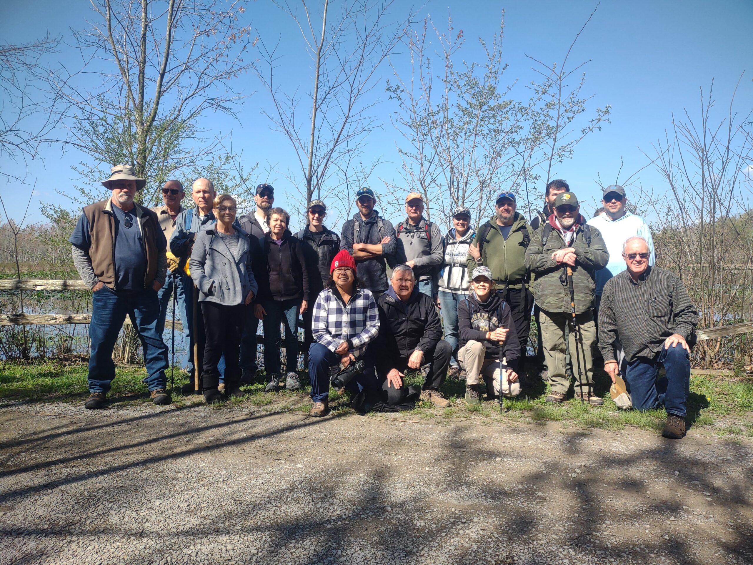
The River to River Trail Society announces its 9th public hike of the 2025 spring hiking season on April 26thth. Hiking: Ferne Clyffe (Johnson County). This hike is free and open to the public. This will be a moderate loop/backtrack hike for experienced hikers approximately 5.5 miles in length, 4 hours hiking time. The leader of this hike can be reached at 618-759-1924 for more information. Hikers should meet at 10:00 am at the Big Rocky Hollow/Hawk Cave Trailhead. This hike is intended for people in very good health who have done some hiking. Hiking sticks and boots or sturdy shoes are recommended. Hikers should bring their own water and snacks. No dogs please. There are some stairs, steep grades and slick rock; and these areas may become slippery if it has rained prior to hike. For a map to the meeting location at the Big Rocky Hollow/Hawk Cave Trailhead click this blue link Big Rocky Hollow/Hawk Cave Trailhead and a map will open up, and then click the Directions button and a driving map will be created which will allow you to plan your driving directions to the meeting area. For those tracking the hike using the Avenza app., you can use the River to River Trail map 17 or the Goreville Quadrangle TOPO map. Prior to participating in any hikes, the River to River Trail Society requests that all hikers read the 2023 Trail Society Waiver which can be found on the River to River website at the following link River to River Trail Society Information and then sign off on this waiver prior to the beginning of the hike. A copy of the waiver will be at the Big Rocky Hollow/Hawk Cave Trailhead meeting area for your signature.

Saturday April 12, 2025 Hike Summary

This morning, 22 hikers, with a few arriving late, because of flooded roads, gathered at the North end of Snake road, in Union county, to be led by Shawn Gossman. We took the group picture 1st thing, because some hikers would have a different pace, stopping to look for and take pictures of wildflowers and seek any possible moving critters. There were quite a few other people out for the day doing the same thing..out to see what they could find and for the exercise. The temps were just a tad on the cool side, and no animal/amphibian movement was observed. There were plenty of tadpoles and other things swimming in the small ponds of water close to the road. We also observed the damage to a stretch of the road that the recent torrential rains had created. Several marveled at the limestone bluffs on the east edge of the roadway, and explored at the base of those bluffs to seek out any possible wildlife movement, but, alas, none was found. The day was bright & sunny, just plainly a good day to the outside. 

Next week’s hike, on Saturday April 19th, will be meeting at Stoneface in Southern Saline county, to be led by Gillum Ferguson. 

Until then, “See ya’ll On the Trail”. 

Update on April 19th Hike Plan

Due to road closures in the area, and the expectation of more rain on Saturday, the hike scheduled for Saturday, April 19, will be scaled back. The hike will now be an out and back hike from the Old Stone Face to Sunrise Rocks which will be about a 4.5 mile hike. The meeting place will remain at the parking area at the south end of Stoneface Lane. Because of flooding, Stoneface can only be approached from the South, by turning north off Route 34 onto DeNeal Road at Rudement. Follow the signs to the Face. 

Trail Society Clears Tornado Damage

On April 17th 2025 nine volunteers and one Forest Service employee showed up to work on clearing downed trees from the Max Creek section of the R2R Trail. Downed trees were from the March 15th tornado that hit the Max Creek section of the R2R Trail. The group met at the Taylor Ridge Road trailhead at 9am and cleared all downed trees all the way over to Hilltop Lane. 3 of the 10 were certified by the FS to use chain saws. The crew:

The NWS said on March 15th a preliminary EF-2 tornado struck just north of Vienna. The tornado had wind speeds of 115 mph and was on the ground for 15.9 miles with a width of 100 yards. The tornado started at 1:15 am Saturday and ended at 1:31 am. The following image shows the path of the tornado and it clearly shows the path goes right over the Max Creek Section of the R2R Trail.

The crew concentrated only on the R2R trail and as a result, it was observed that there is still extensive trail damage along other trails in the area including trails 435 and 437. There is also extensive damage to trees through out the area and the Society recommends that anyone going on these trails or off trail be extra cautious.

Typical storm damaged cleaned up

FS employee cutting large tree

Breaktime at the Max Creek picnic table

Clearing limbs

The Trail Society would like to thank all of those that showed up to clear the R2R trail from the tornado damage.