New Jim Schroeder & Family Section Hike Story Posted.

I just posted a short trail story written by Jim Schroeder of Evansville, IN. He shares a little about his family adventure of section hiking the entire R2R trail over a period of four years from 2019 to 2023. Check it out.

Here is a listing of the section hikes they did. Parking spots at beginning & overnight spot after dash

1) Elizabethtown – Bassett Rd : (Campsite) – near creek just southwest of Bassett Rd

2) Bassett Rd to High Knob Campground – day hike

3) High Knob to GOTG Backpacking Lot –  dry creek bed just west of High Knob Rd

4) GOTG Backpacking Lot to Bethesda Church – on top of One Horse Gap

5) Bethesda Church to Eddyville Post Office – just west of Lusk Creek crossing

6) Eddyville to Gum Springs Rd. Trailhead – just west of Trigg Tower Rd Trailhead

7) Gum Springs to Dutchman’s Lake – just after reservoir and mile 82 (past Tunnel Hill)

8) Dutchman’s Lake to Ferne Clyffe Backpacking Lot – spent 2 nights in group campsite at Ferne Clyffe (and did the segment as a day hike)

9) Ferne Clyffe to Giant City SP – one night next to Panther Den & then stayed at cabin near lodge at end

10) Giant City SP (had to walk from Visitor Center because lodge was closed) to Godwin East Trailhead – stayed just SW of Cedar Lake shortly before trail 379

11) Godwin East to Grand Tower – transported to Pine Hills campground
Saturday, December 16, 2023 Hike Announcement

The River-to-River Trail Society announces its 10th public hike of the 2023 fall hiking season on Dec. 16th. Hiking: Thacker Hollow/Initial Tree (Hardin County/Gallatin County). This hike is free and open to the public. This will be a hike of moderate difficulty, 5 miles in length, 4 hours hiking time. This will be a through hike. The leader of this hike can be reached at 314-223-3061 for more information. Hikers should meet at 10:00 am at the Rim Rock parking area. This hike is intended for people in good health who have done some hiking. Hiking sticks and boots or sturdy shoes are recommended. Hikers should bring their own water and snacks. No dogs please. Hikers will need to shuttle for this hike. There are 3 creeks to be crossed and hikers may need to walk rocks when crossing streams. Hikers’ shoes and or boots may become wet when crossing streams if it has rained. 0.5 miles of this hike is off trail. Some sloped areas. For a map to the meeting location at the Rim Rock parking area click on this blue link Rim Rock Parking Area and a map will open up, and then click the Directions button and a driving map will be created which will allow you to plan your driving directions to the meeting area. Prior to participating in any hikes, the River-to-River Trail Society requests that all hikers read the 2023 Trail Society Waiver which can be found on the River-to-River website at the following link River-to-River Trail Society Information and then sign off on this waiver prior to the beginning of the hike. A copy of the waiver will be at the Rim Rock meeting area for your signature.

Sunday November 12, 2023 Hike Summary

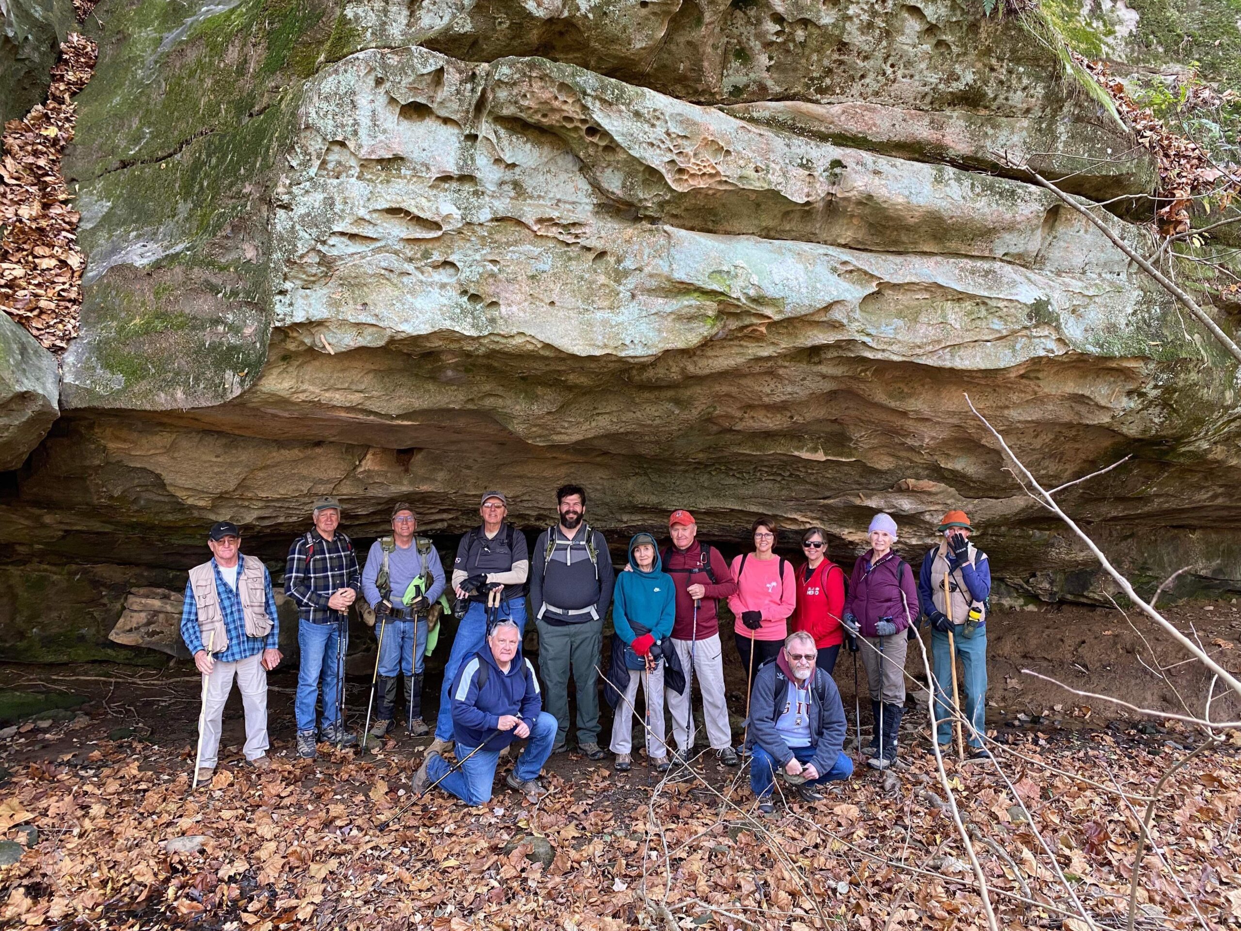
Sunday afternoon, Nov. 12th, 2023, Vicki & Gillum Ferguson led 8 other hikers on a trek into Secret Canyon. 5 of the hikers were new to hiking with the Trail Society. We met at Cedar Grove church on Rt. 145, then proceeded to move to Blanchard/New Liberty Church. From there we went down the roadway, found the creek bed and generally headed west. We worked our way down a dry waterfall, into 1 small secluded area, then back out and down to Secret Canyon. There are some nice, medium-sized bluffs, with a small shelter or two, and a large horse tie-up area. We then went pretty well back out the way we had hiked in. The sun was out and made for a great, short, Sunday afternoon exercise hike. 

Since we do Not hike on the shotgun deer weekends, our  next hike is not until Sat. November 25th, 10 am in the Jackson Hole/Double branch hole area, meeting at the old Shawnee Mart location on Rt. 145, Eddyville.  For more information (there is No limit to the number of hikers, or need to sign-up), call 618-759-1924. It might be a good way to work off a few ounces of the Thanksgiving feast. 

Until then, “See ya’ll On the Trail” and Happy Thanksgiving!!

Respectfully submitted, 

Chris Drone

Saturday, November 25, 2023 Hike Announcement

The River-to-River Trail Society announces its 9th public hike of the 2023 fall hiking season on Nov. 25th. Hiking: Jackson Hole/Double Branch Hole (Pope County). This hike is free and open to the public. This will be a hike of moderate difficulty, 6 miles in length, 5 hours hiking time. This will be a loop hike. The leader of this hike can be reached at 618-759-1924 for more information. Hikers should meet at 10:00 am at the old Shawnee Mart Eddyville. This hike is intended for people in good health who have done some hiking. Hiking sticks and boots or sturdy shoes are recommended. Hikers should bring their own water and snacks. No dogs please. Hikers will need to shuttle to the hiking area due to limited parking. There are 6 streams to be crossed and hikers may need to walk rocks when crossing streams. Hikers’ shoes and or boots may become wet when crossing streams if it has rained. 60%-70% of the hike is off-trail. Some steep grades. There is some shimmying down rock in Jackson Hole and hikers will need to sit down on rock ledge and ease down to next level, just a few inches. There may be some slick rock if it has rained. For a map to the meeting location at the old Shawnee Mart at Rt 145 and Eddyville/Golconda Rd. click on this blue link Old Shawnee Mart and a map will open up, and then click the Directions button and a driving map will be created which will allow you to plan your driving directions to the meeting area. Prior to participating in any hikes, the River-to-River Trail Society requests that all hikers read the 2023 Trail Society Waiver which can be found on the River-to-River website at the following link River-to-River Trail Society Information and then sign off on this waiver prior to the beginning of the hike. A copy of the waiver will be at the Old Shawnee Mart Eddyville meeting area for your signature. 

Saturday November 4, 2023 Hike Summary

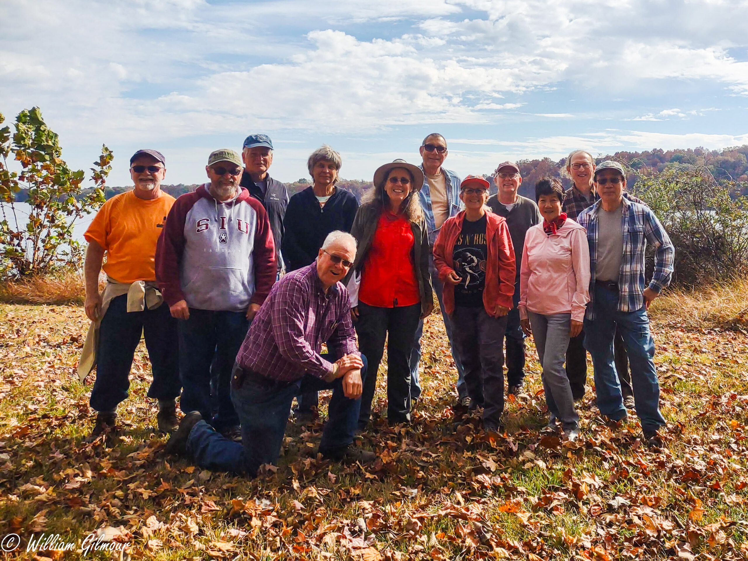
On a very Sunny Saturday Nov. 4th, Melanie Kasson led 11 hikers, including 3 new hikers, one from Cape G, and the other 2 from Carbondale. on a hike in the Kinkaid lake area. The trails were dry as a bone, but, the area had some showers in the past few days, but no mud, no water falling anywhere. Much of the time, we had the lake in sight, around coves, up slight ridges and down valleys, with the lake to our ‘right’. There were a few people out fishing, as we could either hear their boat engines or see them. We went out about 3.5 miles, and found the old picnic area. We did meet 2 men whose vehicle we saw at the parking area.  They had started very early, before daylight, and were going to get in over 18 miles..wheww. We ate lunch and took the group picture at the picnic area with the lake as the background. Tree colors were still a bit noticeable across the way. On the way back in, some found a ‘hen of the woods’ mushroom and marveled at its size. We made it back to the parking lot just after 2 pm, and most headed just a few hundred yards over to view the waterfall from the spillway. It was Really flowing spectacularly.. 

Respectfully submitted, 

Chris Drone

Saturday November 11, 2023 Hike Summary

Our Society hike of Nov 11th, started out with recognizing our veterans. Next Shawn Gossman, Hiking with Shawn, started our day with introductions. We had 14 hikers with several old friends, that have hiked with us in the past, joining us.
Shawn’s hike was a figure 8 or two loops starting out along the North side of Lake Glendale using established trails. We continued heading towards a line of bluffs, BLUFFAGE, where we had our lunch break. We headed on to finish the second loop then hiked the South side of Glendale.
The camp site at the lake looked like it was full. There were hunters camping as bow season was in during this time.
Shawn’s hike was just under 5 miles, just right to take advantage of some great Southern Illinois weather.
The Map below is a Avenza Map. Avenza can be found and downloaded from a link in our website. RivertoRiverTrail.net The Map of Dixon Springs bike routes, Created in part by Shawn, can be found on the Avenza website. Out 11th hike is in blue on this Map.

Sunday, November 12, 2023 Hike Announcement

The River-to-River Trail Society announces its 8th public hike of the Fall, 2023 hiking season, on Sunday, November 12, at 1:30 p.m.  The hike will be an out-and-back hike of about three miles into Secret Canyon, in the Lusk Creek Wilderness, in Pope County.  This will be a hike of moderate difficulty, which will require walking on wet stones and climbing down rocks in two locations. Some of the hike will be off trail. Accordingly, hikers should be in good health and have some experience in hiking over broken ground. Boots and hiking sticks are strongly recommended. Hikers should bring their own water and a snack. No dogs, please. Because rules of the Forest Service limit the size of the group to no more than ten people, the hike will be by reservation only. To register for the hike, call (630) 470-7692. Prior to participating in any hikes, the River-to-River Trail Society requests that all hikers read the 2023 Trail Society Waiver which can be found on the River-to-River website at the following link River-to-River Trail Society Information and then sign off on this waiver prior to the beginning of the hike. A copy of the waiver will be at the meeting area for your signature.

Saturday, November 11, 2023 Hike Announcement

The River-to-River Trail Society announces its 7th public hike of the 2023 fall hiking season on Nov. 11th. Hiking: Lake Glendale (Pope County). This hike is free and open to the public. This will be a hike of moderate difficulty, 6 miles in length, 5 hours hiking time. This will be a loop hike. The leader of this hike can be reached at 618-694-7034 for more information. Hikers should meet at 10:00 am at Lake Glendale Cardinal Bay Trailhead (boat ramp). This hike is intended for people in good health who have done some hiking. Hiking sticks and boots or sturdy shoes are recommended. Hikers should bring their own water and snacks. No dogs please. Check the post on the River-to-River Trail Society website www.rivertorivertrail.net for more information including driving directions to the meeting area for this hike. There are 4 stream crossings. Hikers may need to walk rocks when crossing the streams if it has rained. There are some steep grades. There may be some slick rocks. For a map to the meeting location at Lake Glendale Cardinal Bay Trailhead (boat ramp) click on this blue link Cardinal Bay Trailhead and a map will open up, and then click the Directions button and a driving map will be created which will allow you to plan your driving directions to the meeting area. Prior to participating in any hikes, the River-to-River Trail Society requests that all hikers read the 2023 Trail Society Waiver which can be found on the River-to-River website at the following link River-to-River Trail Society Information and then sign off on this waiver prior to the beginning of the hike. A copy of the waiver will be at the Lake Glendale Cardinal Bay Trailhead meeting area for your signature.