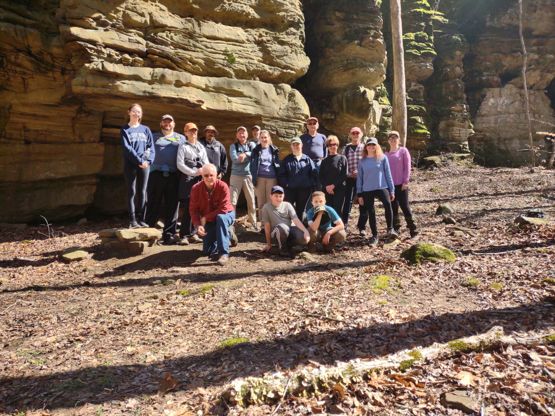
Saturday March 25, 2023 Hike Summary
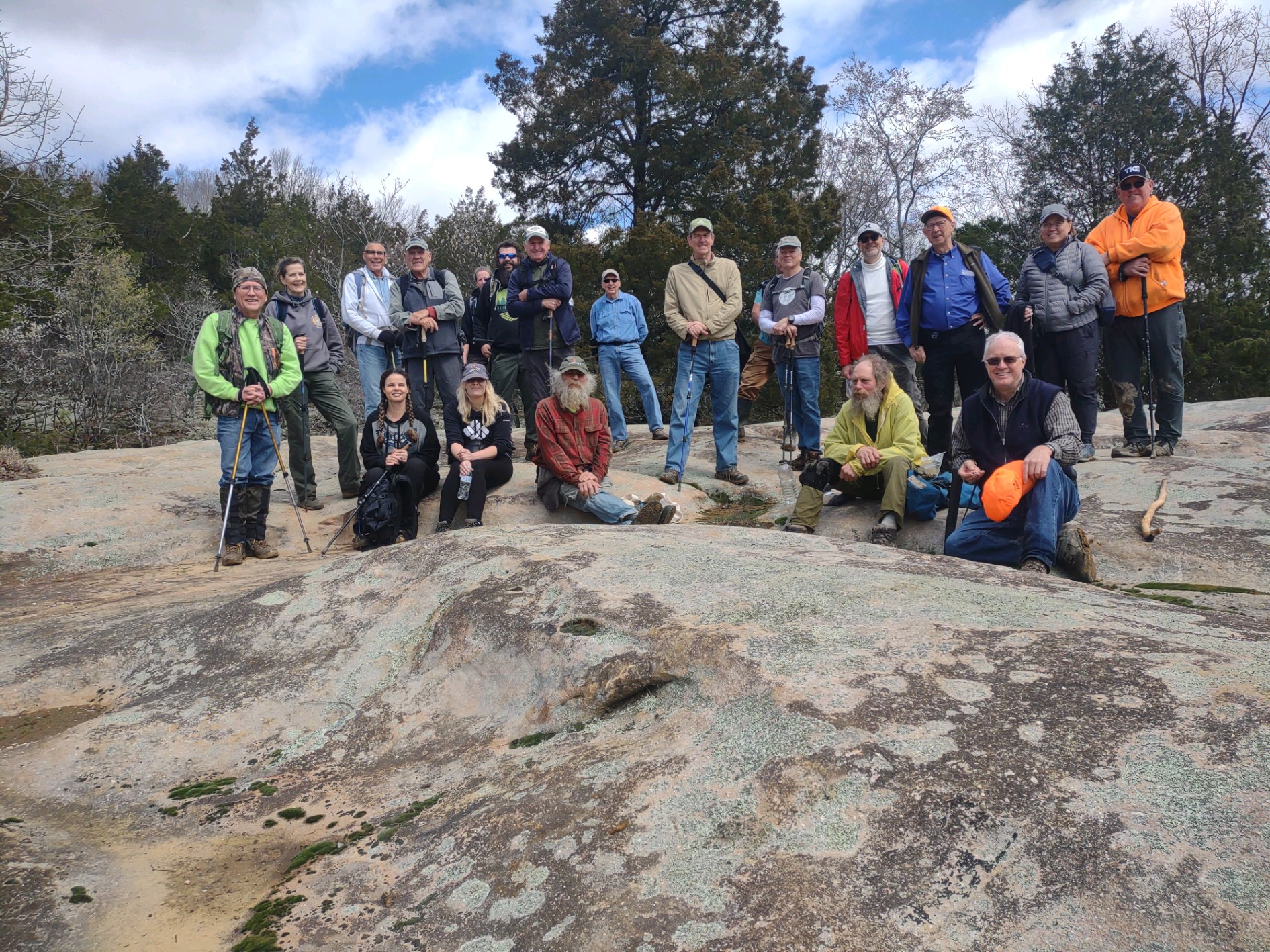
Todays’ hike, led by Shawn Gossman, began at the Benham Hill trailhead parking lot. 19 other hikers gathered, including about 5 new hikers. The morning started out with a somewhat overcast sky, yet quickly, with movement and getting into the woods, we all warmed up, and layers were removed.  With all the rain of the previous 48 hrs, we wondered what the trails had in store for us. For the most part, the mud was not too bad. We saw and crossed many  small water flows across the trail, working the way into streams and valleys below us. There were several nice cascades to see, pause and take pictures. I think someone even found a single morel mushroom. We made our way to One Horse gap, but, before that, we went through No Horse gap, and worked our way down to the stream below, to look at the various levels of rushing water, and 1 waterfall from the bluff opposite, Then, we all ate lunch, and took the group picture on top the the boulders at One Horse gap.  After lunch we made our way to Rocky Top.  By that time, the sky had cleared,the sun was out and the view was Wonderful.  Someone attempted a short rendition of the old Osbourne Brothers song “Rocky Top”.  We proceeded out, found the road and headed back to the parking lot. We ended up hiking about 6.4 miles. 

Next weeks’ hike, on Sat. April 1st, will be led by Sam Morales, meeting at the New Simpson HIll school parking lot at 10 am, then moving to Gum Springs. There could be horse trailers there, so, we don’t want to clog the small parking area.   Until then, See ya’ll On the Trail. 

Respectfully submitted, 

Chris Drone
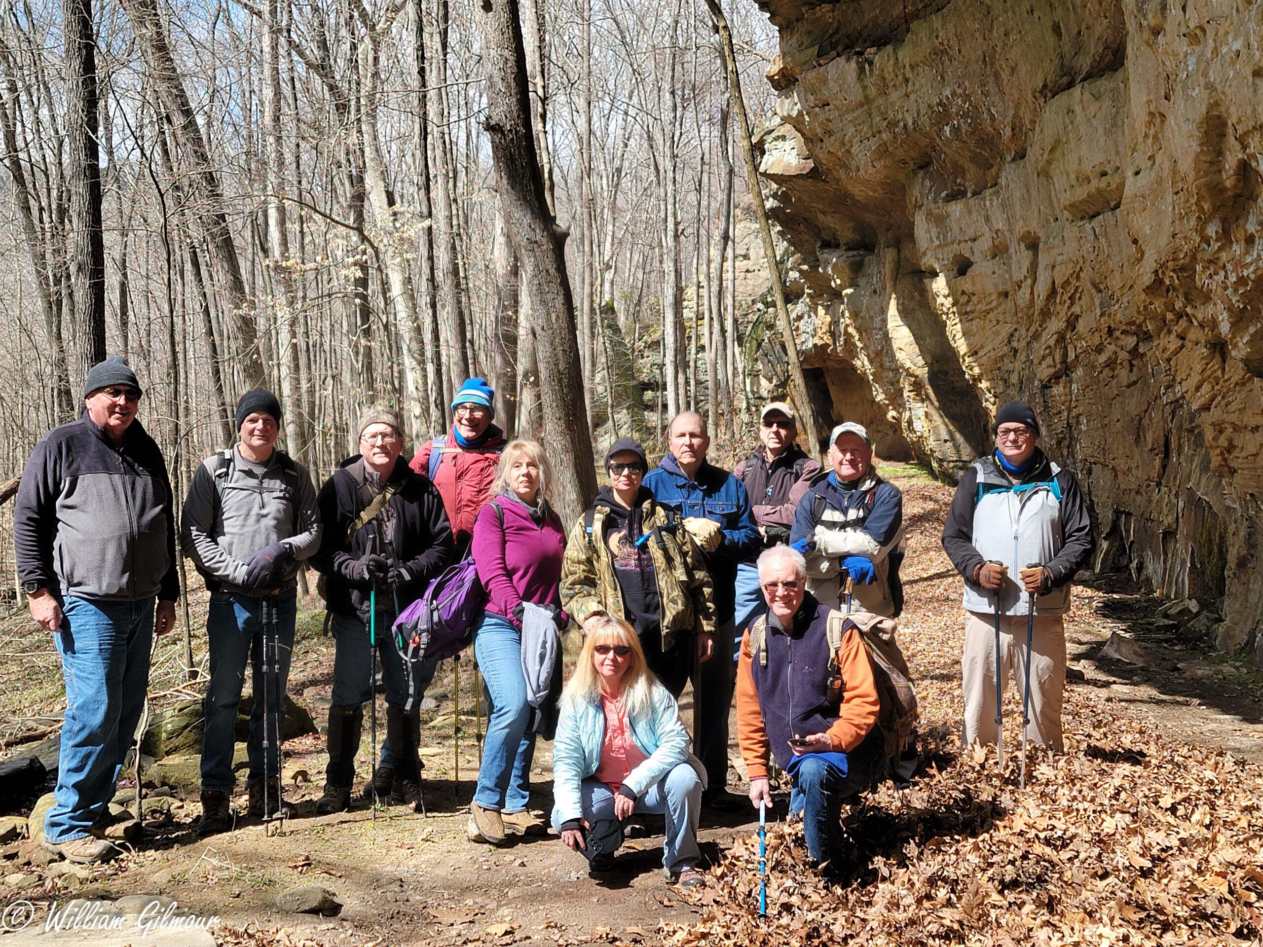
Saturday, April 1, 2023 Hike Announcement

The River-to-River Trail Society announces its 5th public hike of the 2023 spring hiking season on April 1st. Hiking: Gum Springs Trailhead to JD Falls (Johnson County). This hike is free and open to the public. This hike will be of moderate difficulty, 5.5 miles in length, 4 hours hiking time. This will be a loop hike. The leader of this hike can be reached at 618-384-1321 for more information. Hikers should meet at 10:00 am at the New Simpson Hill School and we will shuttle to Gum Springs Trailhead. This hike is intended for people in good health who have done some hiking. Hiking sticks and boots or sturdy shoes are recommended. Hikers should bring their own water and snacks. No dogs please. There are 30 narrow and wide spring and stream crossings associated with this hike. Hikers will need to walk rocks to be able to cross some streams. This hike route may change depending on the prior week’s rain. Some of the hike will take place on rocky terrain and sloped areas. Less than 1/8 mile of this hike will be off trail. For a map to New Simpson Hill School click this blue link New Simpson Hill School and a map will open up, and then click the directions button and a driving map will be created which will allow you to plan your driving directions to New Simpson Hill School. Driving directions from the north: From the intersection of Hwy 45 and Hwy 166 drive southwest on Hwy 45 and go 6.6 miles. Turn right onto Tunnel Hill Road and the school parking is on the left. Driving directions from the south:  From the intersection of Hwy 146 and Hwy 45 drive north on Hwy 45 and go 8.1 miles. Turn left onto Tunnel Hill Road and the school parking is on the left. Prior to participating in any hikes, the River-to-River Trail Society requests that all hikers read the 2023 Trail Society Waiver which can be found on the River-to-River web site at the following link River-to-River Trail Society Information and then sign off on this waiver prior to the beginning of the hike. A copy of the waiver will be at the New Simpson Hill School meeting area for your signature.. Hiking: Gum Springs Trailhead to JD Falls (Johnson County). This hike is free and open to the public. This hike will be of moderate difficulty, 5.5 miles in length, 4 hours hiking time. This will be a loop hike. The leader of this hike can be reached at 618-384-1321 for more information. Hikers should meet at 10:00 am at the New Simpson Hill School and we will shuttle to Gum Springs Trailhead. This hike is intended for people in good health who have done some hiking. Hiking sticks and boots or sturdy shoes are recommended. Hikers should bring their own water and snacks. No dogs please. There are 30 narrow and wide spring and stream crossings associated with this hike. Hikers will need to walk rocks to be able to cross some streams.

This hike route may change depending on the prior week’s rain. Some of the hike will take place on rocky terrain and sloped areas. Less than 1/8 mile of this hike will be off trail. For a map to New Simpson Hill School click this blue link New Simpson Hill School and a map will open up, and then click the directions button and a driving map will be created which will allow you to plan your driving directions to New Simpson Hill School. Driving directions from the north: From the intersection of Hwy 45 and Hwy 166 drive southwest on Hwy 45 and go 6.6 miles. Turn right onto Tunnel Hill Road and the school parking is on the left. Driving directions from the south:  From the intersection of Hwy 146 and Hwy 45 drive north on Hwy 45 and go 8.1 miles. Turn left onto Tunnel Hill Road and the school parking is on the left.

Prior to participating in any hikes, the River-to-River Trail Society requests that all hikers read the 2023 Trail Society Waiver which can be found on the River-to-River web site at the following link River-to-River Trail Society Information and then sign off on this waiver prior to the beginning of the hike. A copy of the waiver will be at the New Simpson Hill School meeting area for your signature.

Saturday March 18, 2023 Hike Summary

On a cold, windy, but Sunny Saturday morning, Bill Gilmour met 11 other hikers at the Goreville IL city park. We had 1 new hiker all the way from Lincoln IL. Everyone else was a returning hiker. We moved out, going South down Rt. 37, to Rebman lane, the next road South of the entrance to Ferne Clyffe state park, We parked and headed down the lane, crossing an old wooden bridge that held up just for us. We took a left, going South, until we came to an old barn at the end of the lane. The barn is well constructed, but nothing is left in the barn.  We could tell, looking at a side hallway that some of the rafters had been hand-hewn, with an axe, and in 1 of the stalls, we saw a rabbit, sitting peacefully.  Most of the rest of the hike was bush-whacking/off trail. along and beside short areas of bluff, down into various valleys. We saw several small ‘windows’, several ‘dribbling’ small waterfalls from overhangs well above us, and, with the cool start to the morning, some icicles. We made it to Dunntown waterfall for lunch. You have to scramble over quite a few large boulders to get a ‘close-up’ view, and, for pics today, the sun was shining right at most cameras. The waterflow was light enough to be just more than a spray. We then worked our way around the bluff, then an upward climb, and around until we got to the stream, and followed it ‘down’ to the top of Dunntown Falls. We then worked our way up the stream, finding a piece of Lepidodendron fossil in a rock in the stream and then hit a lane back to the vehicle parking lot. We ended up hiking just under 4  miles, but, a lot of it was off trail/bush-whacking. 

Next week, Sat. March 25th, we will meet at the big Forest Service Benham Hill Trailhead parking lot, led by Shawn Gossman, starting at 10 am. . 

Until then, See Ya’ll On the Trail. 

Saturday, March 25, 2023 Hike Announcement

The River-to-River Trail Society announces its 4th public hike of 2023 spring hiking season on March 25th. Hiking: Benham Hill Trailhead to One Horse Gap (Pope County). This hike is free and open to the public. This hike will be of moderate difficulty, 5.6 miles in length, 4 hours hiking time. This will be a loop hike. The leader of this hike can be reached at 618-694-7034 for more information. Hikers should meet at 10:00 am at the Benham Ridge Trailhead. This hike is intended for people in good health who have done some hiking. Hiking sticks and boots or sturdy shoes are recommended. Hikers should bring their own water and snacks. No dogs please. There will be some small stream crossings associated with this hike. Some of this hike will take place on rocky terrain and sloped areas.

For a map to Benham Hill Trailhead click this blue link Benham Hill Trailhead and a map will open up, and then click the directions button and a driving map will be created which will allow you to plan your driving directions to Benham Hill Trailhead. Driving directions from the east: From the intersection of Hwy 34 & Raum Road turn west on Raum road and go 6.5 miles. Turn left on Dutton Chapel Road and go 0.6 miles. Turn left on Benham Ridge Road and go 0.5 miles. Turn right into trail head parking. Driving directions from the south: From the intersection of Hwy 146 & Lusk Road turn north on Lusk Road and go 1.3 miles. Continue left on Lusk Road and go 3.0 miles. Turn left onto Dutton Chapel Road and go 1.1 mile. Turn right onto Benham Ridge Road and go 0.5 miles. Turn right into trail head parking.

Prior to participating in any hikes, the River-to-River Trail Society requests that all hikers read the 2023 Trail Society Waiver which can be found on the River-to-River web site at the following link River-to-River Trail Society Information and then sign off on this waiver prior to the beginning of the hike. A copy of the waiver will be at the Benham Hill Trailhead meeting area for your signature.

Saturday March 11, 2023 Hike Summary

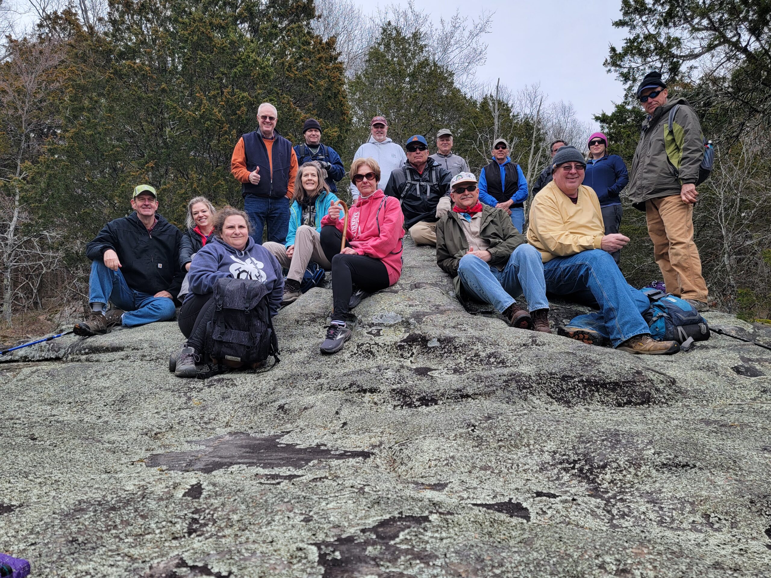
On a cloudy, cool Saturday, The River to River Trail Society met at Shelter #2 at Dixon Springs State Park, for the 2nd hike of the Spring 2023 season  We had, again, several new hikers, some from just a few miles to the East. We loaded into vehicles and moved over to Rock road, to the East and headed out. Bill Gilmour, our hike leader for the day, led 15 other hikers to the Glendale Bluff, which he had scouted and found a good place to go down, and we went generally North/NE along the lower end until we got to a property line, then turned around and headed back South. This bluff line had 2 layers, and we were following the lower layer.  We saw several small windows and a few places that would be waterfalls if there had been much more rain in the previous 24 hours. The bluff line continued going South for quite some time, very contiguous..  We ate lunch and took the group picture on the Sandstone glade of Dixon Springs State Park. We were probably only about 1/2 mile from where we met at shelter #2. We then followed the glade, getting to see the top of a slot canyon, then back to a trail. We observed several other trails,, and, even though we saw, at the meeting spot, vehicles that had mountain bikes, we saw no bikers during our hike. We then came back in, on the top of the bluff that we had hiked along on the lower part during the morning. We ended up hiking about 5.5 miles. We did have a few sprinkles, but,were lucky to avoid any rain. We did pick up some trash, a few cans & bottles, and 1 hiker brought out 2 small pieces of tin and the frame of an aluminum lawn chair.  

Next week’s hike will meet at the Goreville, IL. city park, meeting at 10 am, led by Bill Gilmour. We will caravan out again. 

Until then, See ya’ll On the Trail, 

Respectfully submitted, 

Chris Drone

Saturday, March 18, 2023 Hike Announcement

The River-to-River Trail Society announces its 3rd public hike of the 2023 spring hiking season on March 18th. Hiking: Dunntown Double Falls (Johnson County). This hike is free and open to the public. This hike will be of moderate difficulty, 4.5 miles in length 4 hours hiking time. This will be a loop hike. The leader of this hike can be reached at 270-331-1553 for more information. Hikers should meet at 10:00 am at the Goreville Village Park. This hike is intended for people in good health who have done some hiking. Hiking sticks and boots or sturdy shoes are recommended. Hikers should bring their own water and snacks. No dogs please. Most of this hike will be off trail on Hilly/Rocky hillside. The only stream crossings will be the very small creeks associated with the falls. For a map to Goreville Village Park click this blue link Goreville Village Park and a map will open up, and then click the directions button and a driving map will be created which will allow you to plan your driving directions to Goreville Village Park. Driving directions from the east: From the intersection of Hwy 37 and West Main Street in Goreville head west on West Main Street and go 0.3 miles and turn right into Goreville Village Park. Driving directions from the west: From the intersection of I-57 and Goreville Road take exit 40. Turn east on Goreville Road and go 3.2 miles and turn right into Goreville Village Park. Prior to participating in any hikes, the River-to-River Trail Society requests that all hikers read the 2023 Trail Society Waiver which can be found on the River-to-River web site at the following link River-to-River Trail Society Information and then sign off on this waiver prior to the beginning of the hike. A copy of the waiver will be at the Goreville Village Park for your signature.

Saturday March 4, 2023 Hike Summary

Sorry folks for getting this summary out so late. On a wonderful Saturday, March 4th, Todd Carr led 15 other hikers from the top of High knob on a 4 mile hike around the base of High knob, then  outwards toward several scenic spots. We had several new hikers, including 2 dads and their Boy Scout sons,  along with several returning regulars. We started out at the very top of the Knob, went down the lane just a few hundred feet and turned to the left, took the stairs and wound our way all around the base of the bluff, then came out on the road, down a few hundred feet more, and took off East on the River to River trail, turned North at the old house, where the daffodils were ‘getting alive” . At a break, Sue Wygant gave us some information on the rock ages (Caseyville sandstone) of the close by bluff wall. Despite the rain of the previous 48 hrs. we were in an area that small stream crossings were quite easy. Along the way, several times, Todd paused and told various stories of Preston Bluff, Robin Grindstaffs’ gristmill, Coulter Spring, L.O. Triggs’ Resthaven home, and “The Short Grave of Grindstaff Hollow”, and also the story of how, despite Mr. Trigg not liking Franklin Roosevelt, our Congressman at the time succeeded, with hundreds of pages of petitions in getting the Shawnee National Forest started. It Was a good day, and I don’t think anyone got yelled at by JoJo at the camp (this time).  This weeks hike, will be led by Bill Gilmour, meeting at shelter # 2 at Dixon Springs State Park. Until then….See Ya’ll on the Trail. 

Respectfully submitted, 

Chris Drone 
Saturday, March 11, 2023 Hike Announcement

The River-to-River Trail Society announces its 2nd public hike of the 2023 spring hiking season on March 11th. Hiking: Dixon Springs Bluff Trail/Red Dog Trail (Pope County). This hike is free and open to the public. This will be a hike of moderate difficulty, 5-6 miles in length 4-4.5 hours hiking time. This will be a loop hike. The leader of this hike can be reached at 270-331-1553 for more information. Hikers should meet at 10:00 am at Shelter #2 Dixon Springs State Park. This hike is intended for people in good health who have done some hiking. Hiking sticks and boots or sturdy shoes are recommended. Hikers should bring their own water and snacks. No dogs please. There will be approximately one-half mile of off trail hiking following the bluff. Current hiking plan has 3-4 stream crossings over the same stream. If there is too much rain the week before, the hiking route may change because the stream might be impassable. For a map to Dixon Springs State Park click this blue link Dixon Springs State Park and a map will open up, and then click the directions button and a driving map will be created which will allow you to plan your driving directions to Dixon Springs State Park. Driving directions from the east: From Golconda drive west on Hwy 146 for 10.4 miles. Turn right into Dixon Springs State Park and follow signs to shelter #2. Driving directions from the west: From the intersection of Hwy 145 and Hwy 146 turn east onto Dylan Lane and go 0.2 miles. Turn right onto Hwy 146 and go 0.7 miles. Turn left into Dixon Springs State Park and follow signs to shelter #2. Prior to participating in any hikes, the River-to-River Trail Society requests that all hikers read the 2023 Trail Society Waiver which can be found on the River-to-River web site at the following link River-to-River Trail Society Information and then sign off on this waiver prior to the beginning of the hike. A copy of the waiver will be at Dixon Springs State Park Shelter #2 for your signature.