Saturday November 5, 2022 Hike Summary

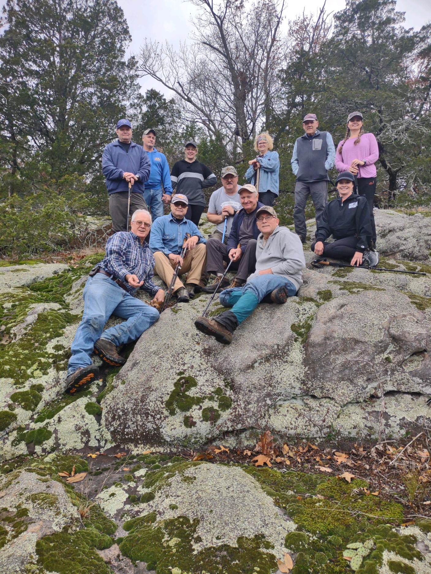
Sat. November 5th, Marcus Owens led 11 other hikers, including 1 new hiker from the St. Louis area, from the Tecumseh statue at Glen. O. Jones lake, to the Stoneface parking lot. We began by ‘spotting” 3 vehicles at the Stoneface parking area to ferry hikers back to the starting point. The day began with overcast skies, and plenty of wind. It had rained a bit during the night, but the chances of rain seemed to be decreasing hour by hour. We were able to catch glimpses of various views to the North through the trees, due to so many leaves have now fallen, and the rain and windy conditions had broken off even more leaves. We stopped at a few spots and went out to the edges of bluffs to get even better views, and found 1 ‘open’ spot of about 50 ft. wide and 100 ft. long that has (we left them alone) numerous flags. Speculation was that it was a spot that a drone operator put them there to be able to see to land a drone. We were not able to pinpoint the spot where the old fire tower was situated We ate lunch at the rock exposure/outcropping area called “Sunrise rock” and took the group picture there. We crossed Eagle Mtn. road, where we saw a large camp, with about 5 vehicles, but saw no one. We then ‘broke out” trash bags and started picking up cans, bottles etc. It seemed that a ‘contest’ developed to see which of 2 bags had the ‘most’ by the time we finished the hike. We got to the power line cut, and headed West, towards the overlook, where another group pic was taken, and then on to the top of Stoneface Some took the ‘fast’ way down to the trail under the bluff, and others took the ‘scenic’ way. We did meet 3 other hikers making their way up the trail from the parking lot. And then back to Glen O. Jones lake, We were done in about 4 hours, covering about 5.6 miles.
Next week,, Sat. November 12th, our 2nd to last hike of the Fall season, meets at the Rim Rock Parking lot, off Karbers Ridge rd. 10am, will be led by Steve Melville. This is a new leader, and a new hike. We will “vehicle pool’ out to the start of the hike, due to the parking spot may only hold about 5 vehicles.
Until then, “See ya on the Trail”
respectfully submitted,
Chris Drone