Saturday November 12, 2022 Hike Summary
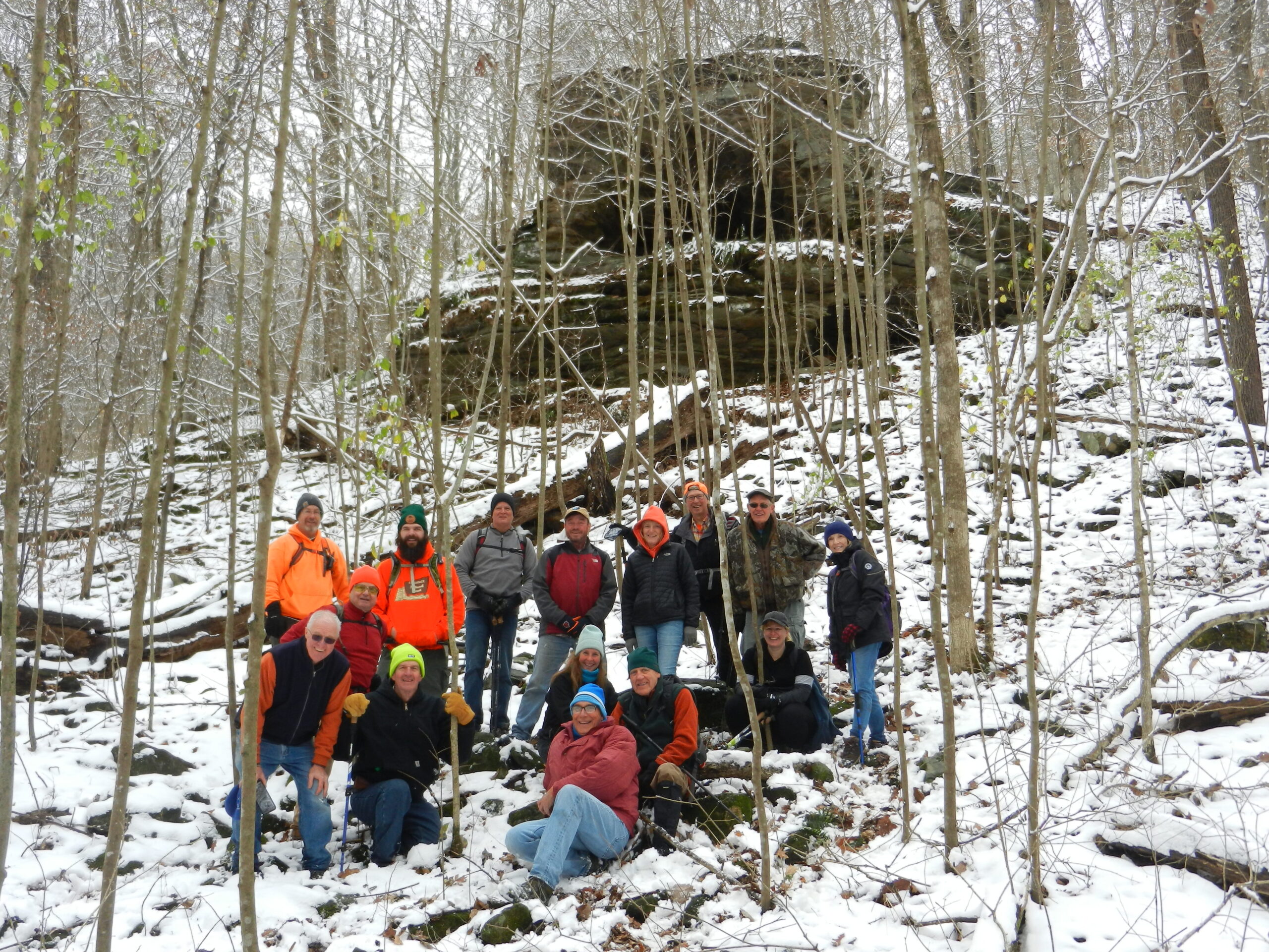
Saturday November 12th, many of us woke up to Quite a surprise…2-3 inches of wet snow on the ground. Several wondered if we would still conduct the planned hike, which was into a new area, with a new leader, Steve Melville. Our policy is that we don’t cancel hikes until the time of the hike, if very few show up, or, weather conditions are poor and getting worse. To much surprise, 14 hikers arrived at the Rim Rock parking lot for Steve to lead. We had 5 new hikers, so, it was great to welcome them along. We condensed into 4 vehicles and moved down York lane. With the snow, if someone needed to stop, they were able to find the group easily again further down the trail. The 1st rock formation we came to Steve has named “Haystack” rock, as it resembled the old style stack of hay, before bales were used. We crossed several streams today, but, none had any water, due to the ongoing, abnormal dry weather. One crossing would be a great cascade. We then paused for lunch at Sasquatch Cave, a rock outcropping that has 2 shelters at 2 different levels, with the upper shelter being the much larger of the 2. Prior to Sasquatch, we did inspect another rock formation, as of yet unnamed. There were a few ‘slips & slides” but nothing major happened to anyone. We covered about 5 miles, in just about 4 hours. All in all, everyone agreed that it was a Great day, for a new hike & leader. 

Our next hike, and Last hike for the Fall 2022 season. will be on Saturday, November 26th, led by Bob Mulcahy, meeting at the parking area at the end of Boat Dock Road, going East off of IL. Rt. 127, South of Murphysboro. Happy Thanksgiving to Everyone, and, untill Nov. 26th, “See Ya on the Trail”. 

Respectfully submitted, 

Chris Drone
Saturday, November 26, 2022 Hike Announcement

The River-to-River Trail Society announces its 10th public hike of the 2022 fall hiking season on Nov. 26th on the Cove Hollow Trail (Jackson County). This hike is free and open to the public. This will be a hike of moderate difficulty, 4.5 miles in length, 3 hours hiking time. Hikers will need to be shuttled for this hike. The leader of the hike will be Bob Mulcahy who can be reached at (708) 471-7500 for more information. Hikers should meet at 10:00 am at the Cedar Lake Boat Ramp. This hike is intended for people in good health who have done some hiking. Hiking sticks and boots or sturdy shoes are recommended. Hikers should bring their own water and snacks. No dogs please. For a map to Cedar Lake Boat Ramp click this blue link Cedar Lake Boat Ramp and a map will open up, then click the Directions button and a driving map will be created which will allow you to plan your driving directions to Cedar Lake Boat Ramp. Driving directions from the north: From the intersection of Old Hwy 13 and Hwy 127, drive south on Hwy 127 for 8.8 miles. Turn left onto Boat Dock Road and drive 1.4 miles to the boat ramp. Directions from the south: From the intersection of Hwy 146 and Hwy 127 drive north on Hwy 127 for 12 miles. Turn right onto Boat Dock Road and drive 1.4 miles to the boat ramp.

Saturday November 5, 2022 Hike Summary

Sat. November 5th, Marcus Owens led 11 other hikers, including 1 new hiker from the St. Louis area, from the Tecumseh statue at Glen. O. Jones lake, to the Stoneface parking lot. We began by ‘spotting” 3 vehicles at the Stoneface parking area to ferry hikers back to the starting point. The day began with overcast skies, and plenty of wind. It had rained a bit during the night, but the chances of rain seemed to be decreasing hour by hour. We were able to catch glimpses of various views to the North through the trees, due to so many leaves have now fallen, and the rain and windy conditions had broken off even more leaves. We stopped at a few spots and went out to the edges of bluffs to get even better views, and found 1 ‘open’ spot of about 50 ft. wide and 100 ft. long that has (we left them alone) numerous flags. Speculation was that it was a spot that a drone operator put them there to be able to see to land a drone. We were not able to pinpoint the spot where the old fire tower was situated We ate lunch at the rock exposure/outcropping area called “Sunrise rock” and took the group picture there. We crossed Eagle Mtn. road, where we saw a large camp, with about 5 vehicles, but saw no one. We then ‘broke out” trash bags and started picking up cans, bottles etc. It seemed that a ‘contest’ developed to see which of 2 bags had the ‘most’ by the time we finished the hike. We got to the power line cut, and headed West, towards the overlook, where another group pic was taken, and then on to the top of Stoneface Some took the ‘fast’ way down to the trail under the bluff, and others took the ‘scenic’ way. We did meet 3 other hikers making their way up the trail from the parking lot. And then back to Glen O. Jones lake,  We were done in about 4 hours, covering about 5.6 miles. 

Next week,, Sat. November 12th,  our 2nd to last hike of the Fall season, meets at the Rim Rock Parking lot, off Karbers Ridge rd. 10am, will be led by Steve Melville. This is a new leader, and a new hike. We will “vehicle pool’ out to the start of the hike, due to the parking spot may only hold about 5 vehicles. 

Until then, “See ya on the Trail”

respectfully submitted, 

Chris Drone

Saturday, November 12, 2022 Hike Announcement

The River-to-River Trail Society announces its 9th public hike of the 2022 fall hiking season on Nov. 12th on the Haystack, Blue Hole and Sasquatch Cave Loop (Gallatin County). This hike is free and open to the public. This will be a hike of moderate difficulty, 6 miles in length, 4 hours hiking time. There will be off trail hiking for ¾ of a mile, and there will be creek crossings. Hikers will need to be shuttled for this hike and this will be a loop hike once shuttled. The leader of this hike will be Steve Melville who can be reached at (314) 223-3061 for more information. Hikers should meet at 10:00 am at Rim Rock National Recreational Trail. This hike is intended for people in good health who have done some hiking. Hiking sticks and boots or sturdy shoes are recommended. Hikers should bring their own water and snacks. No dogs please. For a map to the Rim Rock National Recreation Trail click this blue link Rim Rock National Recreation Trail and a map will open up, then click the Directions button and a driving map will be created which will allow you to plan your driving directions to Rim Rock National Recreation Trail. Driving directions from the west: From the intersection of Hwy 34 and 1180N/Karbers Ridge Rd follow Karbers Ridge Rd. east for 8.3 miles and turn left into Rim Rock National Recreation Trail area. Driving directions from the east: From the intersection of Hwy 1 and 5600E/Pounds Hollow/Karbers Ridge Rd follow Pounds Hollow Rd. west for 3 miles and turn right into Rim Rock National Recreation Trail area.

Saturday & Sunday, October 29 & 30, 2022 Hike Summaries

Group Pic at Borks Falls

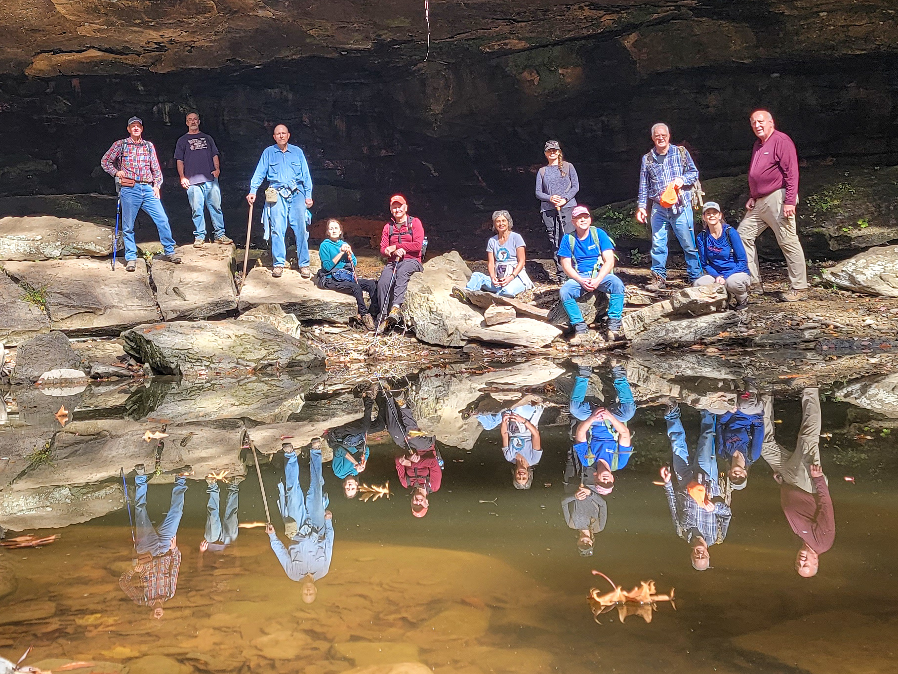
Sat Oct. 29th, members of The River to River Trail Society met at the Goreville City Park, Bill Gilmour, our leader for the day, led 11 other hikers, including a new hiker from Paducah, into various areas South of Goreville, including parts of Fern Clyffe state park. We crossed 1 stream, dry as a bone, about 6 times. At an old homestead site, a 1 row cultivator and a bed frame were still able to be identified.  We found several shelter bluffs, including 1 that had the remnants of a hay wagon, and its hitch. We also found some leftover ‘tools & parts”. Different hikers took turns crawling through tight spots, that normally would be a bit muddy or wet. We were on/off parts of the River to River Trail also. We made it to a ‘dry’ Bork Falls, where we took the group picture. The ‘pond’ was not completely dry, so a ‘good use’ was made of it in the group picture. We ended up hiking about 5.6 miles today. 

Respectfully submitted, 

Chris Drone

Group pic at sailboat rock

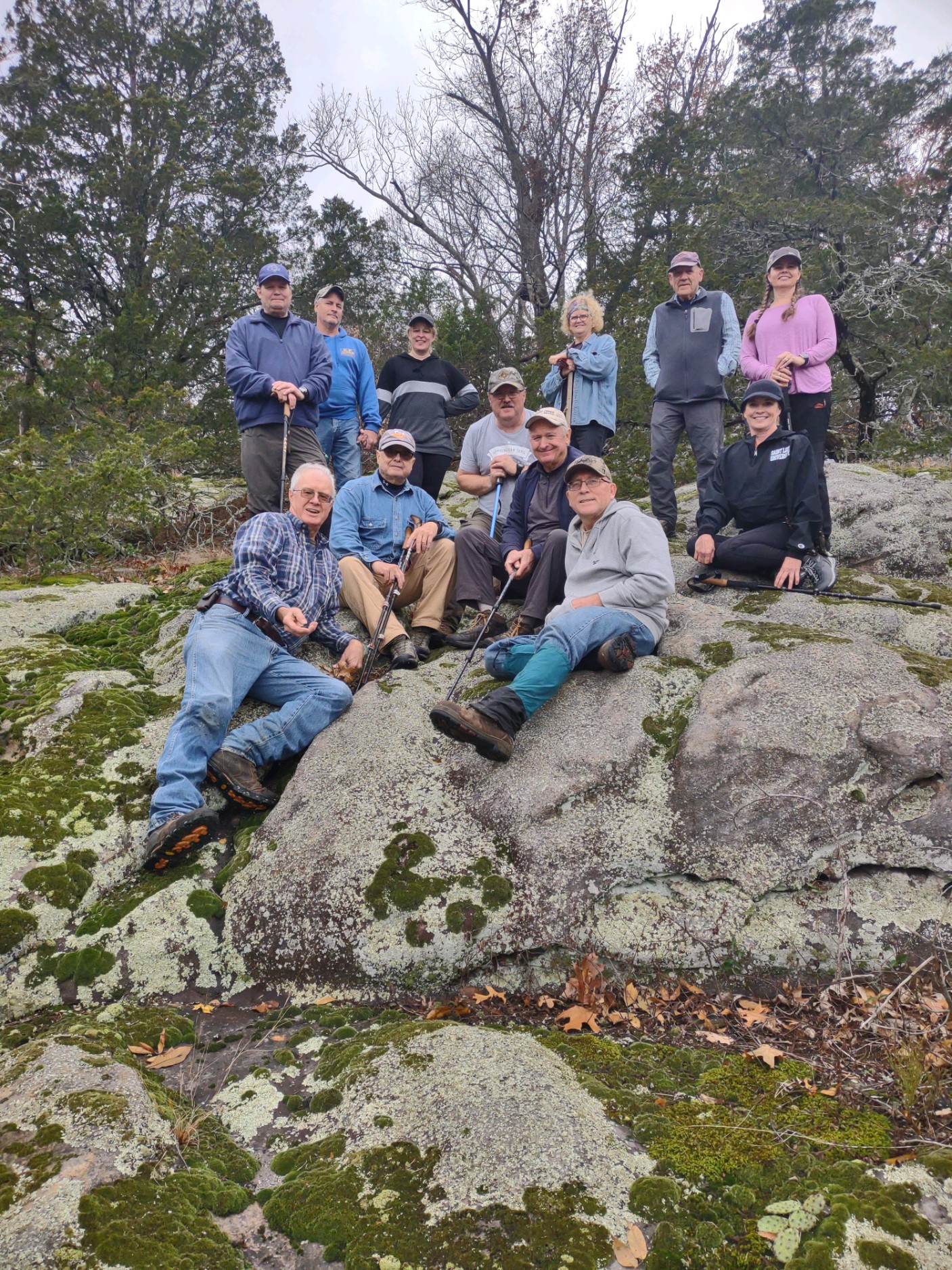
On Sun. Oct 30th, 5 members of the River to River Trail Society met Bill Gilmour at the Vienna, IL. U.S. Forest Service Ranger station, and then we all went North, and out to the Schwegman Ecological area, on Bowman Bottoms’ road. We followed the powerline cut a few hundred feet to the South, and entered the woods going East, and found the “Rabbit hole’ which only 5 people went through. 1 elected to come down a quicker route.  We found a Huge shelter bluff called Horse Cave, and a much smaller 1 just a few yards past it.  We also found the “Schwegman Sentinels”, which are 5 large boulders, almost in a row, that apparently ‘stopped’ rolling at some distant time in the past, because there is more ‘valley’ below them. They are situated just a few dozen yards apart from each other. Several ideas (hypotheses) were proposed as to the origin of their existence. We kept hiking, and came upon another unique rock that Bill has named “Sailboat rock” because it looks like the rudder of a sailboat. He took the group picture there. It is still ‘eroding and weathering’. 

We hiked about 2.6 miles today. 

Our next hike, Sat. Nov. 5th, is the Crest Trail hike, from the Tecumseh statue at the NW ‘top’ of Glen O. Jones lake. The hike will be led by Marcus Owens, and finish at the Stoneface parking area.  Until then, “See Ya on the trail”. 

Respectfully submitted, 

Chris Drone